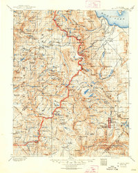
1901 Map of Mt. Lyell
USGS Topo · Published 1948About this map
Yosemite National Park and the high peaks of the Central Sierra are documented here during a period of transition, shortly after the park's management passed from the state back to the federal government. The survey, conducted by R.B. Marshall at the turn of the century, captures the intricate hydrological network that defines the region, from the Mono Lake basin in the east to the headwaters of the Merced River. High-altitude landmarks like Mt. Lyell and Mt. Conness are depicted alongside early mountain infrastructure, such as the Clover Meadow Ranger Sta. The eastern edge of the sheet reveals the stark volcanic topography of Mono Craters and the Pumice Valley, contrasting with the glacial lakes of the high country like Tenaya Lake and Grant Lake. This period of mapping reflects the early push for conservation and the systematic documentation of the California wilderness.
Find a feature on this map
274 named features on this map. Tap any name to fly to it.
Don’t see what you’re looking for? This feature index may not catch every label — zoom into the map to look around manually.
Map Details
Editions of this 1901 Mt. Lyell Map
12 editions found

1901 edition
16.5 x 19.9 inches
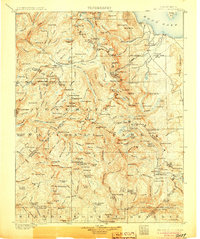
1905 edition
16.6 x 19.8 inches
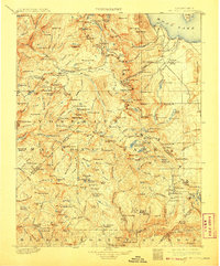
1908 edition
16.5 x 20 inches
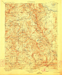
1910 edition
16.5 x 19.9 inches
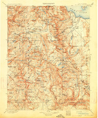
1914 edition
16.5 x 19.8 inches
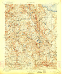
1922 edition
16.5 x 19.8 inches
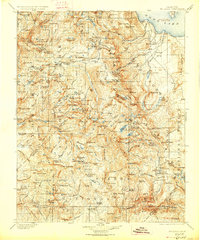
1927 edition
16.5 x 19.9 inches
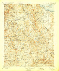
1929 edition
16.5 x 19.9 inches
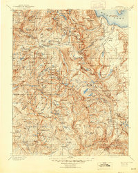
1944 edition
16.6 x 20.7 inches
1948 edition
16.6 x 20.7 inches
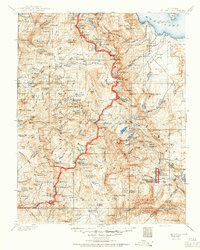
1950 edition
16.6 x 20.7 inches
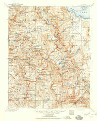
1950 edition
16.5 x 20.8 inches
Other maps of this area

1896 · Dardanelles
USGS Topo · 1:125,000

1897 · Yosemite
USGS Topo · 1:125,000

1898 · Dardanelles
USGS Topo · 1:125,000

1900 · Yosemite
USGS Topo · 1:125,000
1901 · Mt. Lyell
USGS Topo · 1:125,000

1903 · Yosemite
USGS Topo · 1:125,000

1904 · Kaiser
USGS Topo · 1:125,000

1909 · Yosemite
USGS Topo · 1:125,000

1909 · Hawthorne
USGS Topo · 1:250,000

1909 · Bridgeport
USGS Topo · 1:125,000