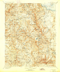
1901 Map of Mt. Lyell
USGS Topo · Published 1927About this map
Mt. Lyell stands as the dramatic centerpiece of this High Sierra landscape, marking the point where the boundaries of Mono, Tuolumne, and Madera counties meet. Surveyed at the end of the 19th century, the map documents the pristine hydrology of the Ritter Range, where snowmelt feeds into Thousand Island Lake and Garnet Lake before descending toward the San Joaquin River. The eastern slopes reveal a distinct volcanic character in Pumice Valley and at Devil Postpile, contrasting with the granite peaks to the west.
Find a feature on this map
251 named features on this map. Tap any name to fly to it.
Don’t see what you’re looking for? This feature index may not catch every label — zoom into the map to look around manually.
Map Details
Editions of this 1901 Mt. Lyell Map
12 editions found

1901 edition
16.5 x 19.9 inches
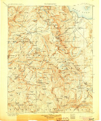
1905 edition
16.6 x 19.8 inches
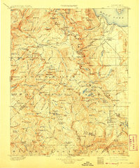
1908 edition
16.5 x 20 inches
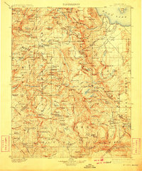
1910 edition
16.5 x 19.9 inches
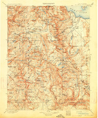
1914 edition
16.5 x 19.8 inches
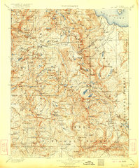
1922 edition
16.5 x 19.8 inches
1927 edition
16.5 x 19.9 inches
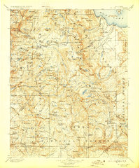
1929 edition
16.5 x 19.9 inches
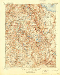
1944 edition
16.6 x 20.7 inches
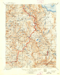
1948 edition
16.6 x 20.7 inches
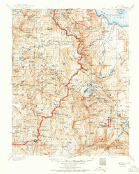
1950 edition
16.6 x 20.7 inches
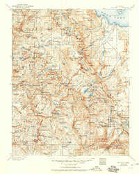
1950 edition
16.5 x 20.8 inches
Other maps of this area

1896 · Dardanelles
USGS Topo · 1:125,000

1897 · Yosemite
USGS Topo · 1:125,000

1898 · Dardanelles
USGS Topo · 1:125,000

1900 · Yosemite
USGS Topo · 1:125,000
1901 · Mt. Lyell
USGS Topo · 1:125,000

1903 · Yosemite
USGS Topo · 1:125,000

1904 · Kaiser
USGS Topo · 1:125,000

1909 · Yosemite
USGS Topo · 1:125,000

1909 · Hawthorne
USGS Topo · 1:250,000

1909 · Bridgeport
USGS Topo · 1:125,000