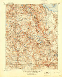
1901 Map of Mt. Lyell
USGS Topo · Published 1944About this map
Mt. Lyell and the high granite peaks of the High Sierra dominate this late-19th-century topographic survey, showing the early boundaries of Yosemite National Park and the Sierra National Forest. The landscape is defined by the headwaters of the San Joaquin and Tuolumne rivers, where hydrological features like the White Cascade and Tuolumne Falls are meticulously recorded alongside iconic landmarks such as Fairview Dome and the Cockscomb. To the south, the Clover Meadow Ranger Sta stands as a rare human outpost in a region primarily used for early forest management and seasonal exploration. Significant lakes like Tenaya Lake, Thousand Island Lake, and Merced Lake dot the glaciated terrain, providing a look at the wilderness before the expansion of modern trail systems. This map captures the region when mapping the high country was still a matter of primary triangulation and field observation, as evidenced by the work of surveyors like R. B. Marshall.
Find a feature on this map
233 named features on this map. Tap any name to fly to it.
Don’t see what you’re looking for? This feature index may not catch every label — zoom into the map to look around manually.
Map Details
Editions of this 1901 Mt. Lyell Map
12 editions found

1901 edition
16.5 x 19.9 inches
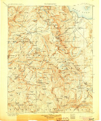
1905 edition
16.6 x 19.8 inches
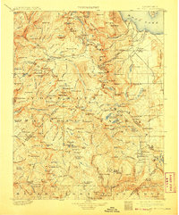
1908 edition
16.5 x 20 inches
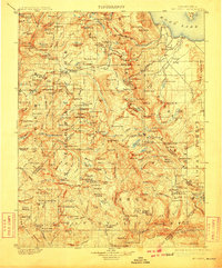
1910 edition
16.5 x 19.9 inches
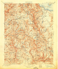
1914 edition
16.5 x 19.8 inches
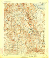
1922 edition
16.5 x 19.8 inches
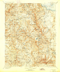
1927 edition
16.5 x 19.9 inches
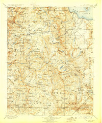
1929 edition
16.5 x 19.9 inches
1944 edition
16.6 x 20.7 inches
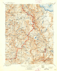
1948 edition
16.6 x 20.7 inches
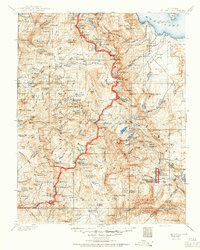
1950 edition
16.6 x 20.7 inches
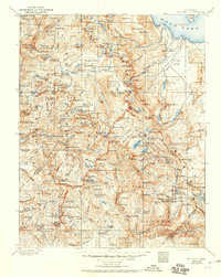
1950 edition
16.5 x 20.8 inches
Other maps of this area

1896 · Dardanelles
USGS Topo · 1:125,000

1897 · Yosemite
USGS Topo · 1:125,000

1898 · Dardanelles
USGS Topo · 1:125,000

1900 · Yosemite
USGS Topo · 1:125,000
1901 · Mt. Lyell
USGS Topo · 1:125,000

1903 · Yosemite
USGS Topo · 1:125,000

1904 · Kaiser
USGS Topo · 1:125,000

1909 · Yosemite
USGS Topo · 1:125,000

1909 · Hawthorne
USGS Topo · 1:250,000

1909 · Bridgeport
USGS Topo · 1:125,000