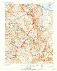
1901 Map of Mt. Lyell
USGS Topo · Published 1950About this map
The High Sierra peaks and alpine basins of the Sierra Nevada are captured here during a period of early conservation and boundary-making at the turn of the century. Yosemite National Park occupies the western portion of the sheet, its border winding through a landscape of granite summits including Mt. Lyell, Mt. Maclure, and Mt. Ritter. To the east, the waters of Mono Lake and the volcanic terrain of the Mono Craters provide a stark contrast to the high glaciated basins. The map serves as a record of early mountain access before modern highways, highlighting critical transit points such as Tioga Pass and Donohue Pass. For those interested in the history of the National Park Service and forest management, the location of the Clover Meadow Ranger Sta. and the unique formation of Devils Postpile—situated within the Devils Postpile National Monument—show the early infrastructure of these protected lands.
Find a feature on this map
206 named features on this map. Tap any name to fly to it.
Don’t see what you’re looking for? This feature index may not catch every label — zoom into the map to look around manually.
Map Details
Editions of this 1901 Mt. Lyell Map
12 editions found

1901 edition
16.5 x 19.9 inches
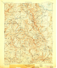
1905 edition
16.6 x 19.8 inches
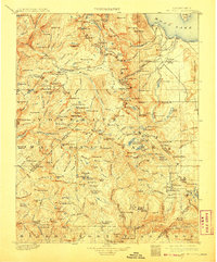
1908 edition
16.5 x 20 inches
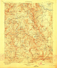
1910 edition
16.5 x 19.9 inches
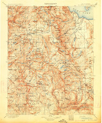
1914 edition
16.5 x 19.8 inches
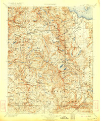
1922 edition
16.5 x 19.8 inches
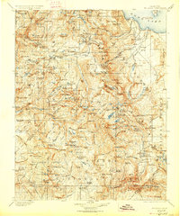
1927 edition
16.5 x 19.9 inches
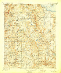
1929 edition
16.5 x 19.9 inches
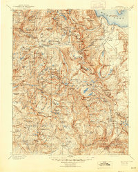
1944 edition
16.6 x 20.7 inches
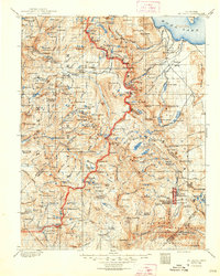
1948 edition
16.6 x 20.7 inches
1950 edition
16.6 x 20.7 inches
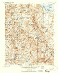
1950 edition
16.5 x 20.8 inches
Other maps of this area

1896 · Dardanelles
USGS Topo · 1:125,000

1897 · Yosemite
USGS Topo · 1:125,000

1898 · Dardanelles
USGS Topo · 1:125,000

1900 · Yosemite
USGS Topo · 1:125,000
1901 · Mt. Lyell
USGS Topo · 1:125,000

1903 · Yosemite
USGS Topo · 1:125,000

1904 · Kaiser
USGS Topo · 1:125,000

1909 · Yosemite
USGS Topo · 1:125,000

1909 · Hawthorne
USGS Topo · 1:250,000

1909 · Bridgeport
USGS Topo · 1:125,000