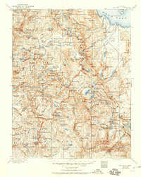
1901 Map of Mt. Lyell
USGS Topo · Published 1950About this map
The High Sierra at the turn of the century is captured in this 1898-99 survey, showing the overlaps of early conservation and rugged alpine terrain. Yosemite National Park occupies the western portion of the sheet, while the Sierra Forest Reserve and the newly designated Devils Postpile National Monument define the southern and eastern landscape. The survey details the glacial topography around Mt. Lyell and Mt. Dana, noting the intricate network of alpine lakes such as Thousand Island Lake and Garnet Lake that feed the upper reaches of the San Joaquin and Tuolumne rivers. Further east, the descent toward Mono Lake is marked by steep canyons and prominent peaks like Mt. Conness. Human infrastructure is sparse, represented by the Clover Meadow Ranger Sta and early mountain passages including Tioga Pass and Donohue Pass.
Find a feature on this map
230 named features on this map. Tap any name to fly to it.
Don’t see what you’re looking for? This feature index may not catch every label — zoom into the map to look around manually.
Map Details
Editions of this 1901 Mt. Lyell Map
12 editions found

1901 edition
16.5 x 19.9 inches
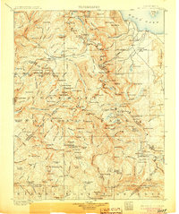
1905 edition
16.6 x 19.8 inches
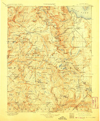
1908 edition
16.5 x 20 inches
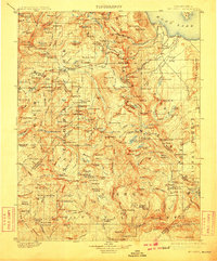
1910 edition
16.5 x 19.9 inches
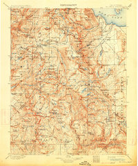
1914 edition
16.5 x 19.8 inches
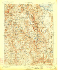
1922 edition
16.5 x 19.8 inches
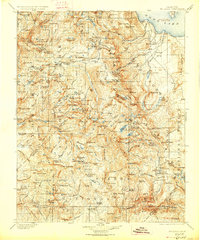
1927 edition
16.5 x 19.9 inches
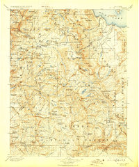
1929 edition
16.5 x 19.9 inches
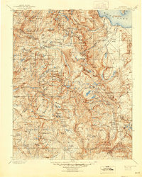
1944 edition
16.6 x 20.7 inches
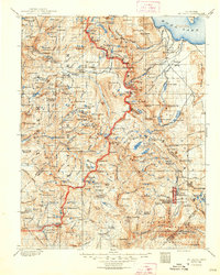
1948 edition
16.6 x 20.7 inches
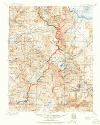
1950 edition
16.6 x 20.7 inches
1950 edition
16.5 x 20.8 inches
Other maps of this area

1896 · Dardanelles
USGS Topo · 1:125,000

1897 · Yosemite
USGS Topo · 1:125,000

1898 · Dardanelles
USGS Topo · 1:125,000

1900 · Yosemite
USGS Topo · 1:125,000
1901 · Mt. Lyell
USGS Topo · 1:125,000

1903 · Yosemite
USGS Topo · 1:125,000

1904 · Kaiser
USGS Topo · 1:125,000

1909 · Yosemite
USGS Topo · 1:125,000

1909 · Hawthorne
USGS Topo · 1:250,000

1909 · Bridgeport
USGS Topo · 1:125,000