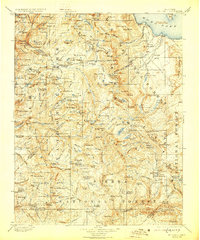
1901 Map of Mt. Lyell
USGS Topo · Published 1929About this map
Mt. Lyell Glacier stands at the heart of this High Sierra terrain, marking the high-altitude interface of Yosemite National Park and the adjacent forest lands. Surveyed at the close of the 19th century, the map documents a landscape defined by glacial activity and drainage patterns, from the cascading Waterwheel Falls to the high basin of Tuolumne Meadows. Human presence is noted through the early routing of the Tioga Road and established camps like Glen Aulin.
Find a feature on this map
199 named features on this map. Tap any name to fly to it.
Don’t see what you’re looking for? This feature index may not catch every label — zoom into the map to look around manually.
Map Details
Editions of this 1901 Mt. Lyell Map
12 editions found

1901 edition
16.5 x 19.9 inches
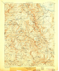
1905 edition
16.6 x 19.8 inches
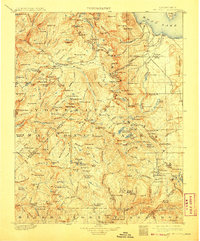
1908 edition
16.5 x 20 inches
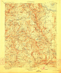
1910 edition
16.5 x 19.9 inches
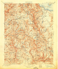
1914 edition
16.5 x 19.8 inches
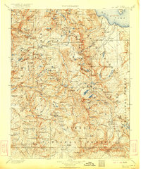
1922 edition
16.5 x 19.8 inches
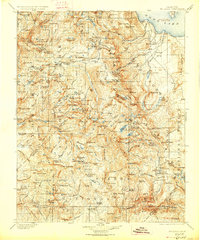
1927 edition
16.5 x 19.9 inches
1929 edition
16.5 x 19.9 inches
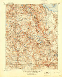
1944 edition
16.6 x 20.7 inches
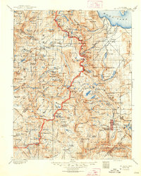
1948 edition
16.6 x 20.7 inches
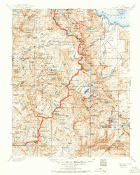
1950 edition
16.6 x 20.7 inches
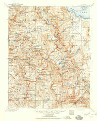
1950 edition
16.5 x 20.8 inches
Other maps of this area

1896 · Dardanelles
USGS Topo · 1:125,000

1897 · Yosemite
USGS Topo · 1:125,000

1898 · Dardanelles
USGS Topo · 1:125,000

1900 · Yosemite
USGS Topo · 1:125,000
1901 · Mt. Lyell
USGS Topo · 1:125,000

1903 · Yosemite
USGS Topo · 1:125,000

1904 · Kaiser
USGS Topo · 1:125,000

1909 · Yosemite
USGS Topo · 1:125,000

1909 · Hawthorne
USGS Topo · 1:250,000

1909 · Bridgeport
USGS Topo · 1:125,000