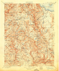
1901 Map of Mt. Lyell
USGS Topo · Published 1914About this map
The High Sierra and the Mono Lake basin are captured here in a 1901 survey that predates much of the modern infrastructure in the region. The map emphasizes the hydrological network of the Yosemite National Park high country, tracing the headwaters of the Merced and Tuolumne rivers through sites like Merced Lake and Little Yosemite Valley. Beyond the granite peaks, the landscape transitions into the Mono National Forest and Sierra National Forest, defined by a series of high-altitude basins and meadows such as Starr King Meadow and Givens Meadow. Surveyed by R. B. Marshall and H. E. C. Feusier, the map documents the Mt Diablo Base Line and numerous county boundaries including the Tuolumne Co Mariposa Co Boundary Line. For researchers, the presence of localized features like Buck Camp and Gravelly Ford provides insight into the early stock-herding and patrol routes that once crisscrossed these mountain passes.
Find a feature on this map
235 named features on this map. Tap any name to fly to it.
Don’t see what you’re looking for? This feature index may not catch every label — zoom into the map to look around manually.
Map Details
Editions of this 1901 Mt. Lyell Map
12 editions found

1901 edition
16.5 x 19.9 inches
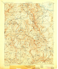
1905 edition
16.6 x 19.8 inches
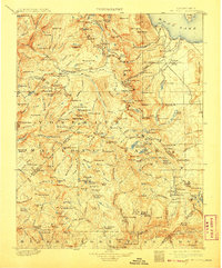
1908 edition
16.5 x 20 inches
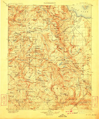
1910 edition
16.5 x 19.9 inches
1914 edition
16.5 x 19.8 inches
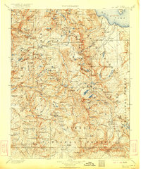
1922 edition
16.5 x 19.8 inches
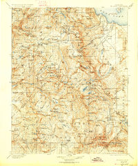
1927 edition
16.5 x 19.9 inches
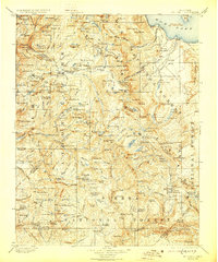
1929 edition
16.5 x 19.9 inches
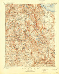
1944 edition
16.6 x 20.7 inches
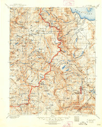
1948 edition
16.6 x 20.7 inches
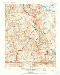
1950 edition
16.6 x 20.7 inches
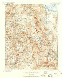
1950 edition
16.5 x 20.8 inches
Other maps of this area

1896 · Dardanelles
USGS Topo · 1:125,000

1897 · Yosemite
USGS Topo · 1:125,000

1898 · Dardanelles
USGS Topo · 1:125,000

1900 · Yosemite
USGS Topo · 1:125,000
1901 · Mt. Lyell
USGS Topo · 1:125,000

1903 · Yosemite
USGS Topo · 1:125,000

1904 · Kaiser
USGS Topo · 1:125,000

1909 · Yosemite
USGS Topo · 1:125,000

1909 · Hawthorne
USGS Topo · 1:250,000

1909 · Bridgeport
USGS Topo · 1:125,000