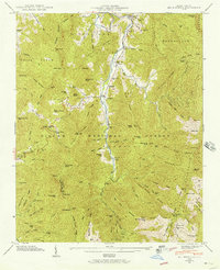
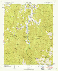
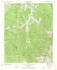
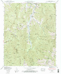
1946 Map of Mt. Mitchell
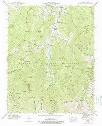
USGS Topo · Published 1957About this map
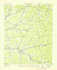
Cane River carves a narrow, winding corridor through the heart of the Pisgah National Forest, anchoring a landscape of extreme relief and isolated mountain communities. In the mid-1940s, the high peaks are dominated by Mount Mitchell State Park, where a Lookout Tower stands near the highest elevations. The map reveals the deep cultural roots of this vertical terrain through family-named landmarks like Arwood Cem, Penland Cem, and Wheeler Cem, which dot the lower slopes and creek beds where small settlements like Pensacola and Murchison took hold.
Find a feature on this map
96 named features on this map. Tap any name to fly to it.
Don’t see what you’re looking for? This feature index may not catch every label — zoom into the map to look around manually.
Map Details
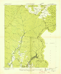
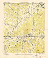
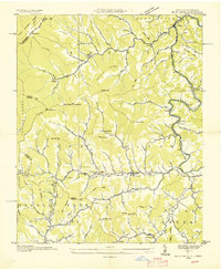
Editions of this 1946 Mt. Mitchell Map
5 editions found
Other maps of this area

1900 · Mount Mitchell
USGS Topo · 1:125,000

1902 · Mount Mitchell
USGS Topo · 1:125,000

1934 · Micaville
USGS Topo · 1:24,000

1934 · Parts Of Celo And Black Brothers
USGS Topo · 1:24,000

1934 · Parts Of Old Fort and Montreat
USGS Topo · 1:24,000
1935 · Montreat
USGS Topo · 1:24,000

1935 · Black Brothers
USGS Topo · 1:24,000
1935 · Burnsville
USGS Topo · 1:24,000
1935 · Bald Creek
USGS Topo · 1:24,000
1935 · Barnardsville
USGS Topo · 1:24,000