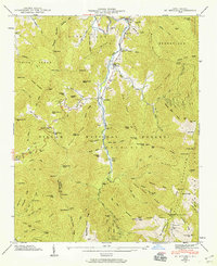
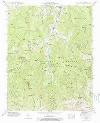
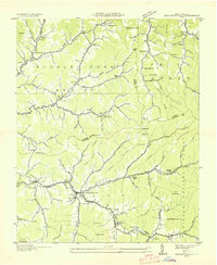
1946 Map of Mt. Mitchell
USGS Topo · Published 1959About this map
Cane River carves a deep valley through the high peaks of Pisgah National Forest in this 1946 field examination. Small mountain settlements such as Pensacola, Murchison, and Eskota cling to the riverbanks, connected by a winding road that once featured a Toll Gate south of Murchison. The landscape is defined by its extreme verticality, rising from the river to the crest of the Black Mountains at the Lookout Tower near the summit of Mt. Mitchell.
Find a feature on this map
95 named features on this map. Tap any name to fly to it.
Don’t see what you’re looking for? This feature index may not catch every label — zoom into the map to look around manually.
Map Details
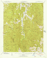
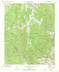
Editions of this 1946 Mt. Mitchell Map
5 editions found
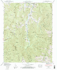
Other maps of this area

1900 · Mount Mitchell
USGS Topo · 1:125,000

1902 · Mount Mitchell
USGS Topo · 1:125,000

1934 · Micaville
USGS Topo · 1:24,000

1934 · Parts Of Celo And Black Brothers
USGS Topo · 1:24,000

1934 · Parts Of Old Fort and Montreat
USGS Topo · 1:24,000
1935 · Montreat
USGS Topo · 1:24,000

1935 · Black Brothers
USGS Topo · 1:24,000
1935 · Burnsville
USGS Topo · 1:24,000
1935 · Bald Creek
USGS Topo · 1:24,000
1935 · Barnardsville
USGS Topo · 1:24,000