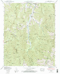
1946 Map of Mt. Mitchell
USGS Topo · Published 1988About this map
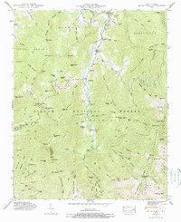
Mt Mitchell stands as the highest point of this 1946 survey, surveying a landscape where the Pisgah National Forest and Mt Mitchell State Park meet at the boundary of Yancey and Buncombe counties. The upper reaches of the Cane River dominate the central valley, providing the primary corridor for small settlements like Pensacola and Murchison. These communities are defined by their local landmarks, including the Murchison Ch and several family cemeteries such as the Penland Cem and Ray Cem, which are tucked into the drainages of Turkey Ridge and Mill Creek Ridge.
Find a feature on this map
107 named features on this map. Tap any name to fly to it.
Don’t see what you’re looking for? This feature index may not catch every label — zoom into the map to look around manually.
Map Details
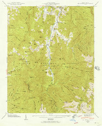
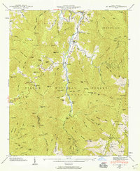
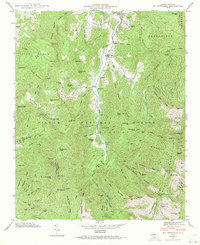
Editions of this 1946 Mt. Mitchell Map
5 editions found
Other maps of this area

1900 · Mount Mitchell
USGS Topo · 1:125,000

1902 · Mount Mitchell
USGS Topo · 1:125,000

1934 · Micaville
USGS Topo · 1:24,000

1934 · Parts Of Celo And Black Brothers
USGS Topo · 1:24,000

1934 · Parts Of Old Fort and Montreat
USGS Topo · 1:24,000

1935 · Montreat
USGS Topo · 1:24,000

1935 · Black Brothers
USGS Topo · 1:24,000

1935 · Burnsville
USGS Topo · 1:24,000

1935 · Bald Creek
USGS Topo · 1:24,000

1935 · Barnardsville
USGS Topo · 1:24,000