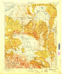
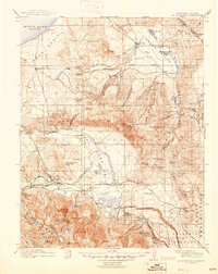
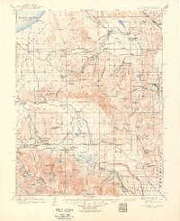
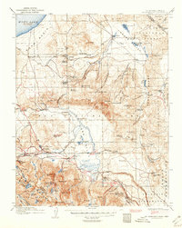
1914 Map of Mt. Morrison
USGS Topo · Published 1914About this map
Mono Mills serves as a critical industrial anchor on the southwestern shores of Mono Lake, marking the terminus of the Mono Lake Lumber Co railroad. This 1914 survey illustrates the early extractive and agricultural landscape of the Eastern Sierra, where high-altitude ranching outposts like Adobe Ranch, Kuhlee Ranch, and Seasor Ranch dot the valleys. The presence of the Casa Diablo Mine and the Paiute Indian Reservation reflect the complex history of resource development and indigenous presence in the area.
Find a feature on this map
112 named features on this map. Tap any name to fly to it.
Don’t see what you’re looking for? This feature index may not catch every label — zoom into the map to look around manually.
Map Details
Editions of this 1914 Mt. Morrison Map
8 editions found
Other maps of this area

1901 · Mt. Lyell
USGS Topo · 1:125,000

1904 · Kaiser
USGS Topo · 1:125,000

1909 · Hawthorne
USGS Topo · 1:250,000

1909 · Bridgeport
USGS Topo · 1:125,000

1911 · Bridgeport
USGS Topo · 1:125,000

1911 · Hawthorne
USGS Topo · 1:250,000

1912 · Mt. Goddard
USGS Topo · 1:125,000

1913 · Bishop
USGS Topo · 1:125,000

1914 · Mt. Morrison
USGS Topo · 1:125,000

1915 · Hawthorne
USGS Topo · 1:250,000