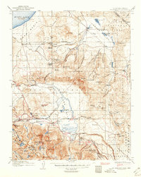
1914 Map of Mt. Morrison
USGS Topo · Published 1950About this map
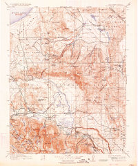
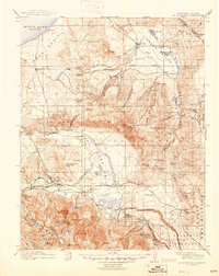
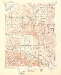
Mono Lake and the volcanic expanse of Adobe Valley anchor this 1914 survey of the California-Nevada borderlands. The map reveals a landscape defined by water and ranching, where remote outposts like Indian Ranch, Dutch Petes Ranch, and Kahler Ranch are connected by an intricate network of trails and secondary roads. The importance of the regional thermal activity is evident in the labeling of numerous springs, including the well-known Casa Diablo Hot Springs and Whitmore Tub.
Find a feature on this map
118 named features on this map. Tap any name to fly to it.
Don’t see what you’re looking for? This feature index may not catch every label — zoom into the map to look around manually.
Map Details
Editions of this 1914 Mt. Morrison Map
8 editions found
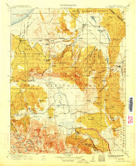
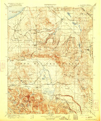
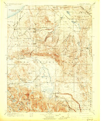
Other maps of this area

1901 · Mt. Lyell
USGS Topo · 1:125,000

1904 · Kaiser
USGS Topo · 1:125,000

1909 · Hawthorne
USGS Topo · 1:250,000

1909 · Bridgeport
USGS Topo · 1:125,000

1911 · Bridgeport
USGS Topo · 1:125,000

1911 · Hawthorne
USGS Topo · 1:250,000

1912 · Mt. Goddard
USGS Topo · 1:125,000

1913 · Bishop
USGS Topo · 1:125,000

1914 · Mt. Morrison
USGS Topo · 1:125,000

1915 · Hawthorne
USGS Topo · 1:250,000