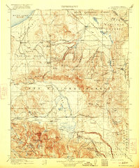
1914 Map of Mt. Morrison
USGS Topo · Published 1921About this map
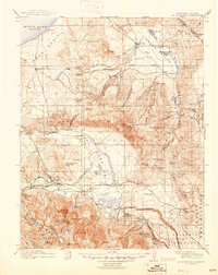
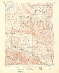
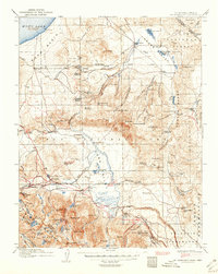
Mono Lake and the high desert basin dominate the northwestern corner of this survey, which captures the Eastern Sierra before widespread modern development. At the base of the mountains, Mono Mills serves as a lone industrial outpost, while the interior is dotted with remote outposts such as Adobe Ranch, River Spring Ranch, and Kuhlee Ranch. These family-named landmarks and stations, including Thompson Ranch and Turners Ranch, suggest a landscape defined by livestock and early water rights. The Owens River corridor and the geothermal activity at Casa Diablo Hot Springs mark the transition toward the dramatic Volcanic Tableland. Mining interests are evident at the Casa Diablo Mine and the settlement of Pine City, reflecting the late-century extraction era. To the east, the village of Benton sits along the California Nevada border, serving as a gateway to the high desert valley floor.
Find a feature on this map
113 named features on this map. Tap any name to fly to it.
Don’t see what you’re looking for? This feature index may not catch every label — zoom into the map to look around manually.
Map Details
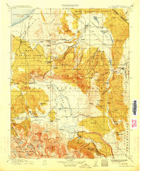
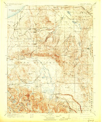
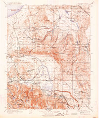
Editions of this 1914 Mt. Morrison Map
8 editions found
Other maps of this area

1901 · Mt. Lyell
USGS Topo · 1:125,000

1904 · Kaiser
USGS Topo · 1:125,000

1909 · Hawthorne
USGS Topo · 1:250,000

1909 · Bridgeport
USGS Topo · 1:125,000

1911 · Bridgeport
USGS Topo · 1:125,000

1911 · Hawthorne
USGS Topo · 1:250,000

1912 · Mt. Goddard
USGS Topo · 1:125,000

1913 · Bishop
USGS Topo · 1:125,000

1914 · Mt. Morrison
USGS Topo · 1:125,000

1915 · Hawthorne
USGS Topo · 1:250,000