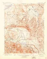
1914 Map of Mt. Morrison
USGS Topo · Published 1945About this map
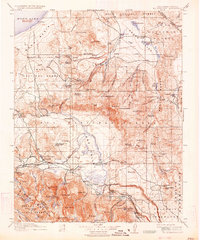
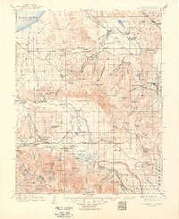
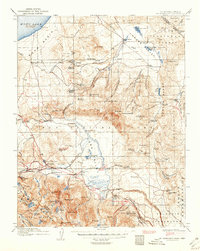
Mono Basin and the southern reaches of the Benton Range dominate this early 20th-century landscape, capturing a transition from industrial timbering to high-altitude recreation and ranching. The presence of Mono Mills at the edge of Mono Lake marks the importance of the lumber industry to the region's development before it was repurposed for later uses. Further south, the map details the early footprints of Mammoth and McGee Creek Resort, alongside remote outpost life at Adobe Ranch and Dutch Petes Ranch.
Find a feature on this map
104 named features on this map. Tap any name to fly to it.
Don’t see what you’re looking for? This feature index may not catch every label — zoom into the map to look around manually.
Map Details
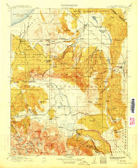
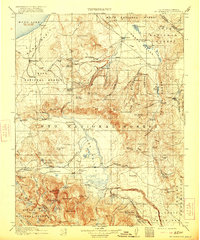
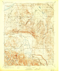
Editions of this 1914 Mt. Morrison Map
8 editions found
Other maps of this area

1901 · Mt. Lyell
USGS Topo · 1:125,000

1904 · Kaiser
USGS Topo · 1:125,000

1909 · Hawthorne
USGS Topo · 1:250,000

1909 · Bridgeport
USGS Topo · 1:125,000

1911 · Bridgeport
USGS Topo · 1:125,000

1911 · Hawthorne
USGS Topo · 1:250,000

1912 · Mt. Goddard
USGS Topo · 1:125,000

1913 · Bishop
USGS Topo · 1:125,000

1914 · Mt. Morrison
USGS Topo · 1:125,000

1915 · Hawthorne
USGS Topo · 1:250,000