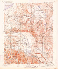
1914 Map of Mt. Morrison
USGS Topo · Published 1934About this map
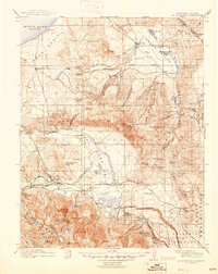
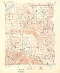
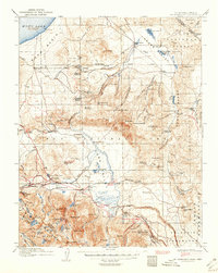
Mono Lake anchors the northern basin of this High Sierra landscape, where the early 20th-century economy is defined by isolated ranching outposts and mineral exploration. A network of family-named holdings like Adobe Ranch, Kuhlee Ranch, and Dutch Petes Ranch dots the valleys between the Benton Range and the towering peaks of the Mono National Forest. The map captures the transition from industrial extraction at Mono Mills to the early development of recreational and hydrothermal sites, including the Casa Diablo Mine and the nearby Casa Diablo Hot Springs. The central Owens River flows toward Benton Crossing, serving as a vital corridor through the high desert terrain. Significant landmarks for local history include the Little Antelope Ranger Sta and seasonal gathering spots like Toms Place and McGee Creek Resort, reflecting the region's burgeoning role as a destination for travelers and stockmen alike.
Find a feature on this map
130 named features on this map. Tap any name to fly to it.
Don’t see what you’re looking for? This feature index may not catch every label — zoom into the map to look around manually.
Map Details
Editions of this 1914 Mt. Morrison Map
8 editions found
Other maps of this area

1901 · Mt. Lyell
USGS Topo · 1:125,000

1904 · Kaiser
USGS Topo · 1:125,000

1909 · Hawthorne
USGS Topo · 1:250,000

1909 · Bridgeport
USGS Topo · 1:125,000

1911 · Bridgeport
USGS Topo · 1:125,000

1911 · Hawthorne
USGS Topo · 1:250,000

1912 · Mt. Goddard
USGS Topo · 1:125,000

1913 · Bishop
USGS Topo · 1:125,000

1914 · Mt. Morrison
USGS Topo · 1:125,000

1915 · Hawthorne
USGS Topo · 1:250,000