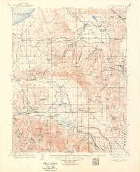
1914 Map of Mt. Morrison
USGS Topo · Published 1950About this map
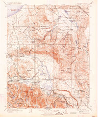
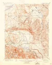
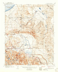
The high desert and mountain interface of the Sierra Nevada meets the Mono Basin in this detailed survey based on fieldwork from the early 1910s. The landscape is defined by its hydrothermal activity and ranching outposts, with Casa Diablo Hot Springs, Hot Spring, and the curious Whitmore Tub marking the geothermal character of the region. Local industry and early settlement are anchored by Mono Mills and the Casa Diablo Mine, while a network of family-held properties like Adobe Ranch, Summers Ranch, and Dutch Petes Ranch suggest the agricultural footprint of the era.
Find a feature on this map
120 named features on this map. Tap any name to fly to it.
Don’t see what you’re looking for? This feature index may not catch every label — zoom into the map to look around manually.
Map Details
Editions of this 1914 Mt. Morrison Map
8 editions found
Other maps of this area

1901 · Mt. Lyell
USGS Topo · 1:125,000

1904 · Kaiser
USGS Topo · 1:125,000

1909 · Hawthorne
USGS Topo · 1:250,000

1909 · Bridgeport
USGS Topo · 1:125,000

1911 · Bridgeport
USGS Topo · 1:125,000

1911 · Hawthorne
USGS Topo · 1:250,000

1912 · Mt. Goddard
USGS Topo · 1:125,000

1913 · Bishop
USGS Topo · 1:125,000

1914 · Mt. Morrison
USGS Topo · 1:125,000

1915 · Hawthorne
USGS Topo · 1:250,000