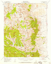
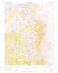
1953 Map of Mt. Pinchot
USGS Topo · Published 1958About this map
Kings River South Fork carves through the high granite country of the eastern Sierra, forming the boundary between Kings Canyon National Park and Inyo National Forest. This mid-century survey captures a landscape of intense geological relief and early 20th-century resource extraction. The eastern slopes are dotted with high-altitude mining operations such as Glacier Mines, Firecracker Mine, and the Kearsarge Group, while the Division Creek Powerhouse marks the industrial utilization of the steep drop toward the valley floor.
Find a feature on this map
130 named features on this map. Tap any name to fly to it.
Don’t see what you’re looking for? This feature index may not catch every label — zoom into the map to look around manually.
Map Details
Editions of this 1953 Mt. Pinchot Map
6 editions found

Other maps of this area

1903 · Tehipite
USGS Topo · 1:125,000

1905 · Tehipite
USGS Topo · 1:125,000

1907 · Mt. Whitney
USGS Topo · 1:125,000

1912 · Mt. Goddard
USGS Topo · 1:125,000

1913 · Bishop
USGS Topo · 1:125,000

1919 · Mt. Whitney
USGS Topo · 1:125,000

1937 · Mt. Whitney
USGS Topo · 1:125,000

1947 · Mariposa
USGS Topo · 1:250,000

1948 · Fresno
USGS Topo · 1:250,000

1948 · Mariposa
USGS Topo · 1:250,000