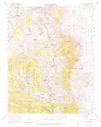
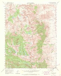
1953 Map of Mt. Pinchot
USGS Topo · Published 1973About this map
Kings Canyon National Park and Inyo National Forest meet at the crest of the High Sierra in this early 1950s survey. The John Muir Trail winds through a high-altitude landscape dominated by massive peaks like Mt Pinchot and Mount Ickes, connecting remote basins such as the Sixty Lake Basin and the Gardiner Basin Lakes. This era of the backcountry is marked by its isolation and the prevalence of pack trails over roads, with the South Fork Kings River serving as a primary drainage for the melting snowfields of the Upper Basin.
Find a feature on this map
129 named features on this map. Tap any name to fly to it.
Don’t see what you’re looking for? This feature index may not catch every label — zoom into the map to look around manually.
Map Details
Editions of this 1953 Mt. Pinchot Map
6 editions found

Other maps of this area

1903 · Tehipite
USGS Topo · 1:125,000

1905 · Tehipite
USGS Topo · 1:125,000

1907 · Mt. Whitney
USGS Topo · 1:125,000

1912 · Mt. Goddard
USGS Topo · 1:125,000

1913 · Bishop
USGS Topo · 1:125,000

1919 · Mt. Whitney
USGS Topo · 1:125,000

1937 · Mt. Whitney
USGS Topo · 1:125,000

1947 · Mariposa
USGS Topo · 1:250,000

1948 · Fresno
USGS Topo · 1:250,000

1948 · Mariposa
USGS Topo · 1:250,000