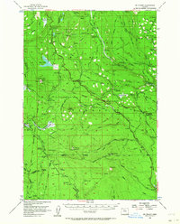
1956 Map of Mt. Wilson
USGS Topo · Published 1964About this map
The Barlow Road cuts a historical path across this high-elevation landscape, where the Mount Hood National Forest meets the northern boundary of the Warm Springs Indian Reservation. Mapping in the mid-1950s reveals a network of forest camps and ranger facilities, including the Bear Springs Ranger Station and Keeps Mill Forest Camp, which supported early timber management and recreational access. Historical survey lines like the Wapinitia (Mc Quinn) Line (1887) Highway and the Campbell Line 1871 provide crucial reference points for land ownership and administrative history. The terrain is defined by prominent peaks such as Mt Wilson and Clear Lake Butte, interspersed with high-country water features like Frog Lake and the expansive Salmon River Meadows. This survey records a specific moment in Oregon's forest history when many remote camps were the primary nodes of human activity.
Find a feature on this map
96 named features on this map. Tap any name to fly to it.
Don’t see what you’re looking for? This feature index may not catch every label — zoom into the map to look around manually.
Map Details
Editions of this 1956 Mt. Wilson Map
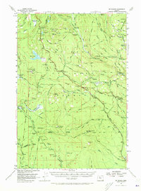
3 editions found

Other maps of this area

1924 · Mount Hood
USGS Topo · 1:125,000

1927 · Mount Hood
USGS Topo · 1:125,000

1927 · Mt. Jefferson
USGS Topo · 1:125,000

1928 · Madras
USGS Topo · 1:125,000

1930 · Mt. Jefferson
USGS Topo · 1:125,000

1930 · Dufur
USGS Topo · 1:125,000

1931 · Madras
USGS Topo · 1:125,000

1934 · Dufur
USGS Topo · 1:125,000

1953 · The Dalles
USGS Topo · 1:250,000

1955 · Bend
USGS Topo · 1:250,000