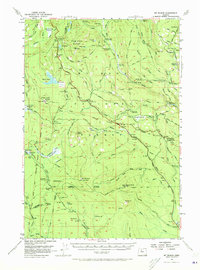
1956 Map of Mt. Wilson
USGS Topo · Published 1973About this map
Mt Wilson and the surrounding high country of the Mt Wilson Forest Reservation dominate this mid-century topographic study at the border of Clackamas and Wasco Counties. The map documents a landscape defined by forest management and historical transit, notably featuring the Barlow Road as it winds past various recreational and administrative outposts like the Bear Springs Ranger Station and Barlow Crossing Forest Camp.
Find a feature on this map
81 named features on this map. Tap any name to fly to it.
Don’t see what you’re looking for? This feature index may not catch every label — zoom into the map to look around manually.
Map Details
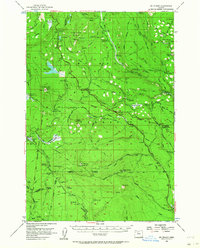
Editions of this 1956 Mt. Wilson Map
3 editions found

Other maps of this area

1924 · Mount Hood
USGS Topo · 1:125,000

1927 · Mount Hood
USGS Topo · 1:125,000

1927 · Mt. Jefferson
USGS Topo · 1:125,000

1928 · Madras
USGS Topo · 1:125,000

1930 · Mt. Jefferson
USGS Topo · 1:125,000

1930 · Dufur
USGS Topo · 1:125,000

1931 · Madras
USGS Topo · 1:125,000

1934 · Dufur
USGS Topo · 1:125,000

1953 · The Dalles
USGS Topo · 1:250,000

1955 · Bend
USGS Topo · 1:250,000