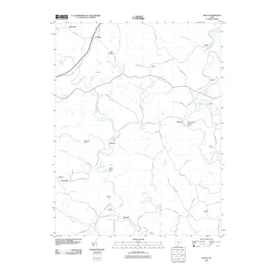
2010 Map of Mulga
USGS Topo · Published 2010About this map
Little Raccoon Creek and Raccoon Creek weave through this southern Ohio landscape, framing a series of small rural settlements and industrial remnants. In the center of the quadrangle, the community of Buckeye is situated near a legacy Furnace and the Buckeye Furnace Bridge, reflecting the region's iron-producing history. Further east, the Ponn Humpback Covered Bridge spans the water near Minerton, serving as a distinctive landmark of historical engineering. The map reveals a dense network of country roads like Mulga Rd and Tower Ridge Rd, connecting disparate hamlets such as Wainwright, Mulga, and Keystone. For those tracing family history, numerous burial grounds are documented, including Mount Carmel Cemetery, Perkins Cemetery, and Franklin Cemetery. This area is characterized by its creek-bottom settlements and named ridges like Hothouse Ridge, showing how the local topography dictated the placement of early homes and industry.
Find a feature on this map
76 named features on this map. Tap any name to fly to it.
Don’t see what you’re looking for? This feature index may not catch every label — zoom into the map to look around manually.
Map Details
Editions of this 2010 Mulga Map
This is the sole edition of this map. No revisions or reprints were ever made.
Other maps of this area

1905 · Wilkesville
USGS Topo · 1:62,500

1906 · Bidwell
USGS Topo · 1:62,500

1908 · Bidwell
USGS Topo · 1:62,500

1908 · Wilkesville
USGS Topo · 1:62,500

1912 · Oak Hill
USGS Topo · 1:62,500

1913 · Jackson
USGS Topo · 1:62,500

1944 · Jackson
USGS Topo · 1:62,500

1947 · Columbus
USGS Topo · 1:250,000

1957 · Huntington
USGS Topo · 1:250,000

1960 · Huntington
USGS Topo · 1:250,000