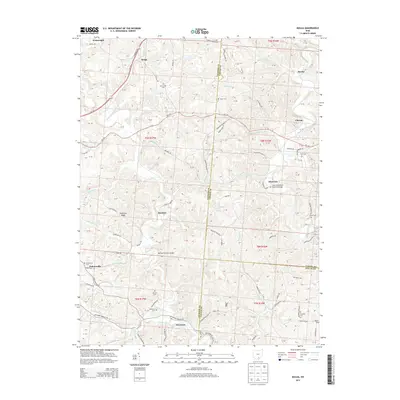
2013 Map of Mulga
USGS Topo · Published 2013About this map
Little Raccoon Creek and Raccoon Creek wind through this southeastern Ohio landscape at the tri-county juncture of Jackson, Vinton, and Gallia. The settlement pattern is defined by small communities such as Buckeye, Keystone, and Mulga, which are linked by a network of winding township roads. Historically significant crossings like the Buckeye Furnace Bridge and the Ponn Humpback Covered Bridge near Minerton underscore the region's early industrial and transport heritage. Family history is anchored in numerous burial grounds, including the Franklin Cemetery, Mt Carmel Cem, and Pattonsville Cem. The terrain is marked by distinctive elevations like Hothouse Ridge, while numerous watercourses such as Dickason Run and Indiancamp Run drain the valleys. This area reflects a quiet rural character, where small clusters of homes and isolated farmsteads are scattered along routes like Oh-124 and Oh-346.
Find a feature on this map
91 named features on this map. Tap any name to fly to it.
Don’t see what you’re looking for? This feature index may not catch every label — zoom into the map to look around manually.
Map Details
Editions of this 2013 Mulga Map
This is the sole edition of this map. No revisions or reprints were ever made.
Other maps of this area

1905 · Wilkesville
USGS Topo · 1:62,500

1906 · Bidwell
USGS Topo · 1:62,500

1908 · Bidwell
USGS Topo · 1:62,500

1908 · Wilkesville
USGS Topo · 1:62,500

1912 · Oak Hill
USGS Topo · 1:62,500

1913 · Jackson
USGS Topo · 1:62,500

1944 · Jackson
USGS Topo · 1:62,500

1947 · Columbus
USGS Topo · 1:250,000

1957 · Huntington
USGS Topo · 1:250,000

1960 · Huntington
USGS Topo · 1:250,000