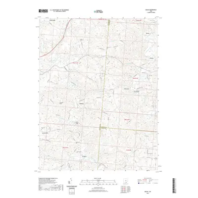
2019 Map of Mulga
USGS Topo · Published 2019About this map
Raccoon Creek and its many tributaries, including Little Raccoon Creek and Rockcamp Run, carve a network of valleys through this portion of Southern Ohio. The landscape is defined by its industrial and early pioneer history, evidenced by the presence of the Buckeye Furnace Bridge and the Ponn Humpback Covered Bridge, which stand as landmarks of nineteenth-century engineering. Small rural settlements like Wainwright, Minerton, and Clarion are connected by a web of township and county roads, including Tower Ridge Rd and Minerton Chapel Rd. The abundance of burial grounds, such as Mount Carmel Cem, Pattonsville Cem, and Keystone Cem, provides significant points of interest for genealogical research in this tri-county border region where Jackson, Vinton, and Gallia counties meet.
Find a feature on this map
94 named features on this map. Tap any name to fly to it.
Don’t see what you’re looking for? This feature index may not catch every label — zoom into the map to look around manually.
Map Details
Editions of this 2019 Mulga Map
This is the sole edition of this map. No revisions or reprints were ever made.
Other maps of this area

1905 · Wilkesville
USGS Topo · 1:62,500

1906 · Bidwell
USGS Topo · 1:62,500

1908 · Bidwell
USGS Topo · 1:62,500

1908 · Wilkesville
USGS Topo · 1:62,500

1912 · Oak Hill
USGS Topo · 1:62,500

1913 · Jackson
USGS Topo · 1:62,500

1944 · Jackson
USGS Topo · 1:62,500

1947 · Columbus
USGS Topo · 1:250,000

1957 · Huntington
USGS Topo · 1:250,000

1960 · Huntington
USGS Topo · 1:250,000