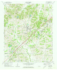
1971 Map of Munford
USGS Topo · Published 1973About this map
Munford and Atoka serve as the primary anchors of this 1971 study, situated along the diagonal path of the Illinois Central Gulf railroad. The landscape is defined by the rural transition between the Tipton and Shelby County line, where small crossroads like Tipton, Barretville, and Kerrville appear alongside family-named landmarks and country congregations. The topography is deeply incised by drainages such as Cane Creek and Bull Creek, creating a network of ridges and hollows that historically dictated the placement of early schools and cemeteries.
Find a feature on this map
57 named features on this map. Tap any name to fly to it.
Don’t see what you’re looking for? This feature index may not catch every label — zoom into the map to look around manually.
Map Details
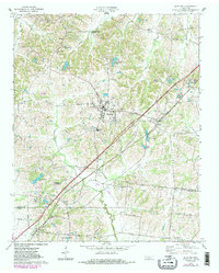
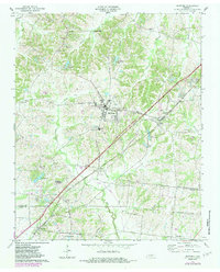
Editions of this 1971 Munford Map
3 editions found
Other maps of this area

1942 · Millington
USGS Topo · 1:62,500

1954 · Mason
USGS Topo · 1:62,500

1956 · Blytheville
USGS Topo · 1:250,000

1959 · Blytheville
USGS Topo · 1:250,000

1960 · Millington
USGS Topo · 1:62,500

1961 · Rialto
USGS Topo · 1:62,500

1962 · Rialto
USGS Topo · 1:62,500

1963 · Osceola
USGS Topo · 1:62,500

1965 · Osceola
USGS Topo · 1:62,500

1965 · Brighton
USGS Topo · 1:24,000