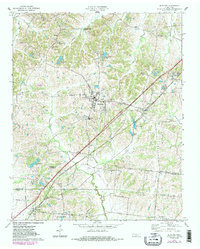
1971 Map of Munford
USGS Topo · Published 1983About this map
Munford and Atoka serve as the primary hubs of this West Tennessee landscape during the early 1970s, connected by the busy diagonal corridor of the Illinois Central Gulf railroad. The map documents a rural transition where traditional community anchors like Campground Ch and Hopewell Cem stand alongside emerging recreation and infrastructure, including Edmund Orgill Park near the southern boundary.
Find a feature on this map
55 named features on this map. Tap any name to fly to it.
Don’t see what you’re looking for? This feature index may not catch every label — zoom into the map to look around manually.
Map Details
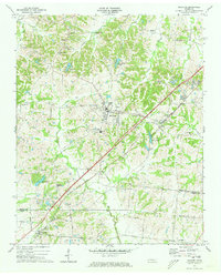
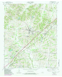
Editions of this 1971 Munford Map
3 editions found
Other maps of this area

1942 · Millington
USGS Topo · 1:62,500

1954 · Mason
USGS Topo · 1:62,500

1956 · Blytheville
USGS Topo · 1:250,000

1959 · Blytheville
USGS Topo · 1:250,000

1960 · Millington
USGS Topo · 1:62,500

1961 · Rialto
USGS Topo · 1:62,500

1962 · Rialto
USGS Topo · 1:62,500

1963 · Osceola
USGS Topo · 1:62,500

1965 · Osceola
USGS Topo · 1:62,500

1965 · Brighton
USGS Topo · 1:24,000