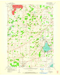
1959 Map of Muskego
USGS Topo · Published 1960About this map
The growing suburban and rural landscapes of southeastern Wisconsin are captured in the late 1950s, showing the early expansion of Waukesha and New Berlin. This period finds the region in a state of flux, where established agricultural tracts and gravel operations sit adjacent to emerging residential developments. The area's history is tied to its water and transport, with the Sault Ste Marie and St Paul RR cutting across the northern sections and the Fox River winding through the southwest near Big Bend.
Find a feature on this map
53 named features on this map. Tap any name to fly to it.
Don’t see what you’re looking for? This feature index may not catch every label — zoom into the map to look around manually.
Map Details
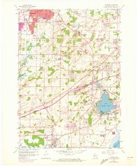
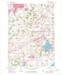
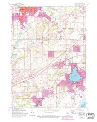
Editions of this 1959 Muskego Map
4 editions found
Other maps of this area

1891 · Muskego
USGS Topo · 1:62,500

1892 · Waukesha
USGS Topo · 1:62,500

1892 · Oconomowoc
USGS Topo · 1:62,500

1892 · Eagle
USGS Topo · 1:62,500

1894 · Eagle
USGS Topo · 1:62,500

1897 · Eagle
USGS Topo · 1:62,500

1901 · Waukesha
USGS Topo · 1:62,500

1901 · Muskego
USGS Topo · 1:62,500

1906 · Eagle
USGS Topo · 1:62,500

1906 · Waukesha
USGS Topo · 1:62,500