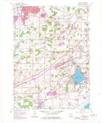
1959 Map of Muskego
USGS Topo · Published 1977About this map
Little Muskego Lake and its surrounding glacial terrain define this portion of Waukesha County during a period of significant suburban expansion. While the northern edge shows the early growth of Waukesha and New Berlin, the southern landscape remains largely agricultural, punctuated by a network of local schools and churches such as Vernon Ch and St Leonard Sch. The industrial character of the era is evident in the numerous Gravel Pits concentrated near Prospect Hill, highlighting the region's role in supplying materials for Wisconsin's post-war building boom.
Find a feature on this map
51 named features on this map. Tap any name to fly to it.
Don’t see what you’re looking for? This feature index may not catch every label — zoom into the map to look around manually.
Map Details
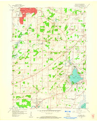
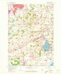
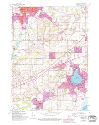
Editions of this 1959 Muskego Map
4 editions found
Other maps of this area

1891 · Muskego
USGS Topo · 1:62,500

1892 · Waukesha
USGS Topo · 1:62,500

1892 · Oconomowoc
USGS Topo · 1:62,500

1892 · Eagle
USGS Topo · 1:62,500

1894 · Eagle
USGS Topo · 1:62,500

1897 · Eagle
USGS Topo · 1:62,500

1901 · Waukesha
USGS Topo · 1:62,500

1901 · Muskego
USGS Topo · 1:62,500

1906 · Eagle
USGS Topo · 1:62,500

1906 · Waukesha
USGS Topo · 1:62,500