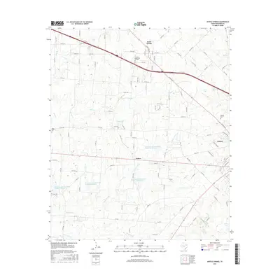
2016 Map of Myrtle Springs
USGS Topo · Published 2016About this map
Myrtle Springs and the surrounding Van Zandt County countryside are defined by a complex network of creeks and small reservoirs in this 2016 study. The landscape is marked by the presence of several established burial grounds, including the Wesley Chapel Cem, High Cem, and the Haven of Memories Cem near Canton. These locations, alongside the smaller settlement at Wallace, provide essential touchpoints for genealogical research and local history documentation.
Find a feature on this map
120 named features on this map. Tap any name to fly to it.
Don’t see what you’re looking for? This feature index may not catch every label — zoom into the map to look around manually.
Map Details
Editions of this 2016 Myrtle Springs Map
This is the sole edition of this map. No revisions or reprints were ever made.
Other maps of this area

1920 · Kemp
USGS Topo · 1:62,500

1948 · Martins Mill
USGS Topo · 1:62,500

1949 · Martins Mill
USGS Topo · 1:62,500

1954 · Dallas
USGS Topo · 1:250,000

1956 · Tyler
USGS Topo · 1:250,000

1957 · Kemp
USGS Topo · 1:62,500

1958 · Dallas
USGS Topo · 1:250,000

1962 · Myrtle Springs
USGS Topo · 1:24,000

1962 · Prairieville
USGS Topo · 1:24,000

1962 · Cedarvale
USGS Topo · 1:24,000