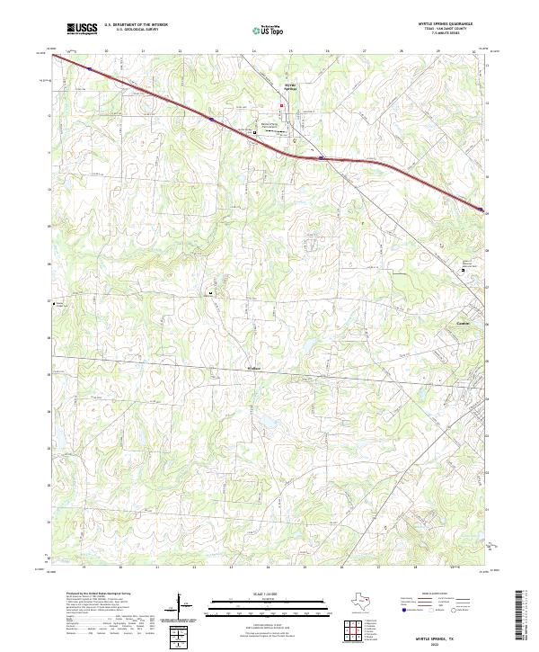
2022 Map of Myrtle Springs
USGS Topo · Published 2022About this map
The community of Myrtle Springs sits at the intersection of local history and modern transportation, defined by the winding paths of Caney Cr and the heavy line of the Interstate 20 service roads. This portion of Van Zandt County retains its rural character, anchored by small settlements like Wallace and the northwestern edge of Canton. Local genealogy is well-represented through several burial grounds, including Myrtle Springs Cem, Wesley Chapel Cem, and High Cem, which are scattered among the tributaries of Wet Lacy Fork and Dry Lacy Fork. Notable for its private aviation history, Dennis's Flying Farm Airport remains a distinct landmark north of the interstate. The landscape is a network of country roads such as Corky Boyd Ave and Holland Rd, which connect the family-named landmarks and creeks that have long defined this part of East Texas.
Find a feature on this map
37 named features on this map. Tap any name to fly to it.
Don’t see what you’re looking for? This feature index may not catch every label — zoom into the map to look around manually.
Map Details
Editions of this 2022 Myrtle Springs Map
This is the sole edition of this map. No revisions or reprints were ever made.
Other maps of this area

1920 · Kemp
USGS Topo · 1:62,500

1948 · Martins Mill
USGS Topo · 1:62,500

1949 · Martins Mill
USGS Topo · 1:62,500

1954 · Dallas
USGS Topo · 1:250,000

1956 · Tyler
USGS Topo · 1:250,000

1957 · Kemp
USGS Topo · 1:62,500

1958 · Dallas
USGS Topo · 1:250,000

1962 · Myrtle Springs
USGS Topo · 1:24,000

1962 · Prairieville
USGS Topo · 1:24,000

1962 · Cedarvale
USGS Topo · 1:24,000