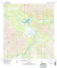
1949 Map of Nabesna D-6
USGS Topo · Published 1984About this map
Mentasta Lake and the surrounding Copper River Basin corridor are captured in this mid-century survey as the region's transportation network began to solidify. The Glenn Highway provides the primary arterial through Mentasta Pass, paralleling the historic Eagle Trail which represents an older era of overland travel. The landscape is defined by the broad, braided drainage of the Slana River and its associated Slana Slough, which create a complex wetland environment between the high ridges of the Alaska Range. Settlement remains sparse, represented by a Lodge and Landing Strip near the pass, indicating the importance of bush aviation for accessing this interior wilderness. Further south, the terrain transitions toward Indian Pass and the remote waters of Carlson Lake and Kennedy Lake, where high-altitude markers like VABM 6447 Siko anchor the geographic survey of this formidable terrain.
Find a feature on this map
28 named features on this map. Tap any name to fly to it.
Don’t see what you’re looking for? This feature index may not catch every label — zoom into the map to look around manually.
Map Details
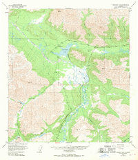
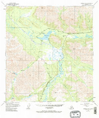
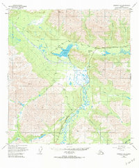
Editions of this 1949 Nabesna D-6 Map
5 editions found
Other maps of this area

1948 · Tanacross A-6
USGS Topo · 1:63,360

1948 · Nabesna C-6
USGS Topo · 1:63,360

1948 · Nabesna D-5
USGS Topo · 1:63,360

1948 · Tanacross A-5
USGS Topo · 1:63,360

1949 · Tanacross
USGS Topo · 1:250,000

1949 · Nabesna D-6
USGS Topo · 1:63,360

1949 · Tanacross A-5
USGS Topo · 1:63,360

1949 · Gulkana C-1
USGS Topo · 1:63,360

1949 · Mt. Hayes A-1
USGS Topo · 1:63,360

1950 · Tanacross
USGS Topo · 1:250,000