
1950 Map of Nabesna
USGS Topo · Published 1954About this map
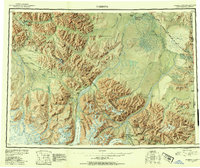
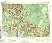
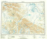
The Tetlin Indian Reservation anchors the central drainage of this mid-century interior landscape, where the Tetlin River and Nabesna River weave through a complex of lowlands and glacial peaks. This era of Alaskan history is defined by the nascent aviation and highway infrastructure connecting isolated mining and indigenous hubs. To the south, the mining settlement of Nabesna sits at the foot of White Mtn, while Chisana remains a remote outpost in the Nutzotin Mountains. The map documents critical transit points like the Northway Landing Field near Nabesna Village and the Glenn Highway corridor. Glacial features like the Nabesna Glacier and Chisana Glacier dominate the high country of the Wrangell Mountains, illustrating the formidable terrain that separated the river valleys of the Tanana River from the Copper River basin.
Find a feature on this map
105 named features on this map. Tap any name to fly to it.
Don’t see what you’re looking for? This feature index may not catch every label — zoom into the map to look around manually.
Map Details
Editions of this 1950 Nabesna Map
4 editions found
Other maps of this area

1948 · Tanacross A-6
USGS Topo · 1:63,360

1948 · Tanacross A-3
USGS Topo · 1:63,360

1948 · Tanacross A-4
USGS Topo · 1:63,360

1948 · Nabesna C-6
USGS Topo · 1:63,360

1948 · Nabesna D-5
USGS Topo · 1:63,360

1948 · Tanacross A-5
USGS Topo · 1:63,360

1949 · Tanacross
USGS Topo · 1:250,000

1949 · Nabesna D-6
USGS Topo · 1:63,360

1949 · Tanacross A-5
USGS Topo · 1:63,360

1949 · Gulkana C-1
USGS Topo · 1:63,360