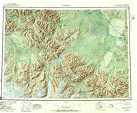
1950 Map of Nabesna
USGS Topo · Published 1957About this map
Mentasta Mountains and the Wrangell Mountains dominate this 1950s survey of eastern Alaska, where the high peaks of the interior meet the international boundary. The landscape is defined by massive ice fields like the Nabesna Glacier and Chisana Glacier, which feed a complex network of glacial rivers including the Nabesna River and Tanana River. Remote settlements and seasonal encampments such as Mentasta Lake, Nabesna Village, Chisana, and Batzulnetas are scattered across the terrain, often connected only by air or pack trails.
Find a feature on this map
60 named features on this map. Tap any name to fly to it.
Don’t see what you’re looking for? This feature index may not catch every label — zoom into the map to look around manually.
Map Details
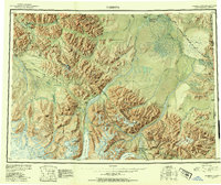
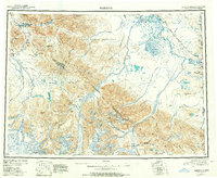
Editions of this 1950 Nabesna Map
4 editions found

Other maps of this area

1948 · Tanacross A-6
USGS Topo · 1:63,360

1948 · Tanacross A-3
USGS Topo · 1:63,360

1948 · Tanacross A-4
USGS Topo · 1:63,360

1948 · Nabesna C-6
USGS Topo · 1:63,360

1948 · Nabesna D-5
USGS Topo · 1:63,360

1948 · Tanacross A-5
USGS Topo · 1:63,360

1949 · Tanacross
USGS Topo · 1:250,000

1949 · Nabesna D-6
USGS Topo · 1:63,360

1949 · Tanacross A-5
USGS Topo · 1:63,360

1949 · Gulkana C-1
USGS Topo · 1:63,360