
1951 Map of Naknek A-5
USGS Topo · Published 1956About this map
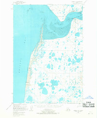
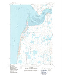
Commercial fishing infrastructure dominates the shoreline of Egegik Bay in this mid-century coastal survey. The settlement of Egegik is positioned near the bay's entrance, supported by the presence of industrial sites like the Libby McNeill & Libby Cannery and the Diamond E Cannery. This period shows the region's heavy reliance on the salmon industry, with the King Salmon R and King Salmon Island featuring prominently in the local geography. Navigational aids like the Red Bluff Light near Bishop Creek highlight the maritime activity required to service these remote outposts.
Find a feature on this map
20 named features on this map. Tap any name to fly to it.
Don’t see what you’re looking for? This feature index may not catch every label — zoom into the map to look around manually.
Map Details
Editions of this 1951 Naknek A-5 Map
3 editions found
Other maps of this area

1943 · Ugashik
USGS Topo · 1:250,000

1948 · Ugashik
USGS Topo · 1:250,000

1949 · Ugashik
USGS Topo · 1:250,000

1951 · Ugashik D-5 and D-6
USGS Topo · 1:63,360

1951 · Ugashik D-4
USGS Topo · 1:63,360

1951 · Naknek A-4
USGS Topo · 1:63,360

1952 · Naknek
USGS Topo · 1:250,000

1952 · Naknek B-4
USGS Topo · 1:63,360

1952 · Naknek B-5
USGS Topo · 1:63,360

1963 · Ugashik
USGS Topo · 1:250,000