
1952 Map of Naknek C-6
USGS Topo · Published 1958About this map
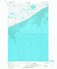
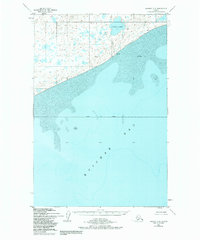
Kvichak Bay dominates the southern half of this coastal landscape, revealing the intricate underwater topography of sand and mud flats as they existed in the early 1950s. The shoreline is marked by notable landmarks such as Lake Point (also labeled as Lake Pt) and a lone Cabin situated near the northeastern coast. The interior terrain is a complex network of wetlands and small water bodies, draining through Supply Creek from the larger Supply Lake. This survey, compiled from 1951 aerial photography, captures the remote character of the Alaska Peninsula before significant modern development, emphasizing the natural hydrology and the primitive navigational aids along the bay's shifting edge.
Find a feature on this map
8 named features on this map. Tap any name to fly to it.
Don’t see what you’re looking for? This feature index may not catch every label — zoom into the map to look around manually.
Map Details
Editions of this 1952 Naknek C-6 Map
3 editions found
Other maps of this area

1945 · Nushagak Bay
USGS Topo · 1:250,000

1949 · Nushagak Bay
USGS Topo · 1:250,000

1951 · Nushagak Bay
USGS Topo · 1:250,000

1952 · Naknek
USGS Topo · 1:250,000

1952 · Naknek C-5
USGS Topo · 1:63,360

1952 · Naknek B-5
USGS Topo · 1:63,360
1952 · Nushagak Bay C-1
USGS Topo · 1:63,360

1952 · Naknek D-5
USGS Topo · 1:63,360

1952 · Nushagak Bay D-1
USGS Topo · 1:63,360

1952 · Naknek D-6
USGS Topo · 1:63,360