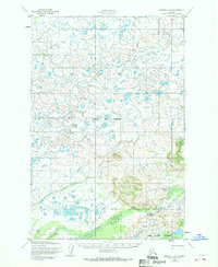
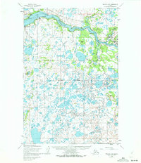
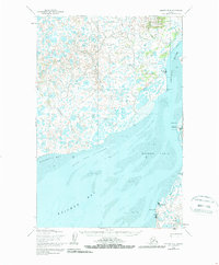
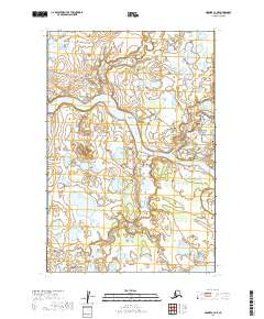
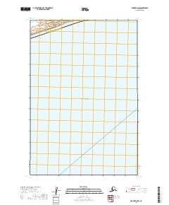
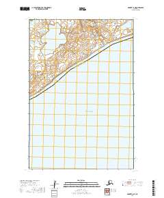
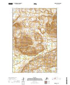
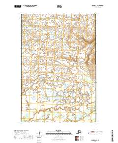
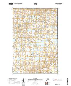
1952 Map of Naknek D-2
USGS Topo · Published 1970About this map
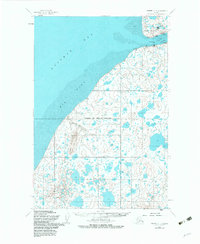
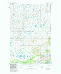
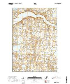
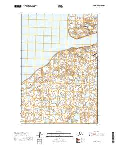
Bristol Bay Borough and the surrounding wilderness of southwest Alaska are documented here in detail during the early 1950s. The landscape is defined by an intricate network of waterways and thousands of small tundra lakes, with the Alagnak river system threading through the northern reaches. This terrain represents a transition from low-lying wetlands toward the rising elevations of the Katmai National Monument in the southeast corner. The drainage patterns of Salmon Creek, Pauls Creek, and the King river reflect a land shaped by glacial history and seasonal water flow. While the area remains largely undeveloped, a series of Trails are marked, indicating the early overland routes used by hunters, fishers, and indigenous travelers before the expansion of modern infrastructure in the region.
Find a feature on this map
9 named features on this map. Tap any name to fly to it.
Don’t see what you’re looking for? This feature index may not catch every label — zoom into the map to look around manually.
Map Details
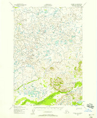
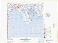
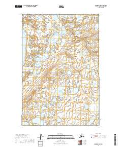
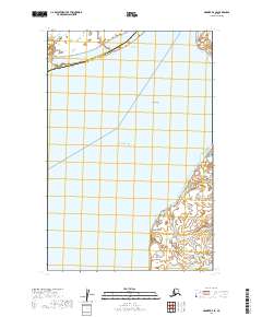
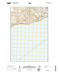
Editions of this 1952 Naknek D-2 Map
3 editions found
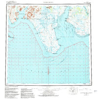
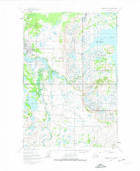
Historical Maps of Bristol Bay Through Time
25 maps found

1945 Nushagak Bay
Bristol Bay Borough, AK

1949 Nushagak Bay
Bristol Bay Borough, AK
1951 Nushagak Bay
Bristol Bay Borough, AK
1952 Naknek C-2
Bristol Bay Borough, AK
1952 Naknek C-3
Bristol Bay Borough, AK
1952 Naknek C-4
Bristol Bay Borough, AK
1952 Naknek C-5
Bristol Bay Borough, AK
1952 Naknek D-2
Bristol Bay Borough, AK

1952 Naknek D-3
Bristol Bay Borough, AK
1952 Naknek D-4
Bristol Bay Borough, AK
1964 Nushagak Bay
Bristol Bay Borough, AK
2019 Naknek C-2 NE
Bristol Bay Borough, AK
2019 Naknek C-2 NW
Bristol Bay Borough, AK
2019 Naknek C-3 NE
Bristol Bay Borough, AK
2019 Naknek C-3 NW
Bristol Bay Borough, AK
2019 Naknek C-4 NE
Bristol Bay Borough, AK
2019 Naknek C-4 NW
Bristol Bay Borough, AK
2019 Naknek C-5 NW
Bristol Bay Borough, AK
2019 Naknek C-6 NE
Bristol Bay Borough, AK
2019 Naknek D-2 SE
Bristol Bay Borough, AK
2019 Naknek D-2 SW
Bristol Bay Borough, AK
2019 Naknek D-3 SE
Bristol Bay Borough, AK
2019 Naknek D-3 SW
Bristol Bay Borough, AK
2019 Naknek D-4 SE
Bristol Bay Borough, AK
2019 Naknek D-4 SW
Bristol Bay Borough, AK