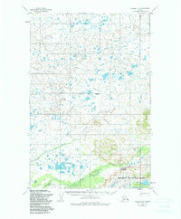
1952 Map of Naknek D-2
USGS Topo · Published 1984About this map
Katmai National Park occupies the southeastern portion of this landscape, reflecting federal conservation efforts that were later codified in the 1980s. The terrain is defined by a dense network of lakes and ponds that feed into the major drainage systems of King Salmon Creek, Salmon Creek, and Pauls Creek. These waterways transition from high-elevation headwaters into the low-lying marshlands typical of the Bristol Bay Borough region. Established trails provide the few overland routes through the marshy interior, which was mapped primarily through aerial photography in the early 1950s. The map illustrates a transitional wilderness where hydraulic patterns dictate the movement of both people and wildlife before more modern infrastructure arrived in this part of Alaska.
Find a feature on this map
6 named features on this map. Tap any name to fly to it.
Don’t see what you’re looking for? This feature index may not catch every label — zoom into the map to look around manually.
Map Details
Editions of this 1952 Naknek D-2 Map
3 editions found
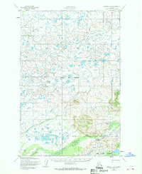
Other maps of this area

1951 · Dillingham
USGS Topo · 1:250,000

1951 · Naknek D-1
USGS Topo · 1:63,360

1951 · Naknek C-1
USGS Topo · 1:63,360

1951 · Dillingham A-1
USGS Topo · 1:63,360

1952 · Naknek
USGS Topo · 1:250,000

1952 · Dillingham A-2
USGS Topo · 1:63,360

1952 · Naknek D-2
USGS Topo · 1:63,360

1952 · Naknek C-2
USGS Topo · 1:63,360

1952 · Naknek C-3
USGS Topo · 1:63,360

1952 · Naknek D-3
USGS Topo · 1:63,360