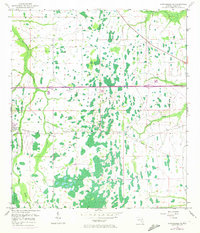
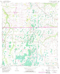
1953 Map of Narcoossee NE
USGS Topo · Published 1972About this map
Econlockhatchee River and its numerous tributaries, including Little Econlockhatchee River and Tootoosahatchee Creek, dominate this part of eastern Orange County. The landscape is defined by a complex network of wetlands and seasonal drainages, where several scattered Windmills suggest a reliance on groundwater for agriculture and ranching. One of the few significant settlements shown is Magnolia Ranch, situated near a Lookout Tower and a Gaging Station on the riverbank.
Find a feature on this map
15 named features on this map. Tap any name to fly to it.
Don’t see what you’re looking for? This feature index may not catch every label — zoom into the map to look around manually.
Map Details
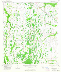
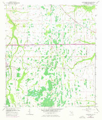
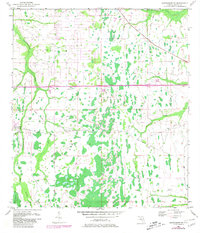
Editions of this 1953 Narcoossee NE Map
6 editions found
Other maps of this area

1953 · Narcoossee NE
USGS Topo · 1:24,000

1953 · Narcoossee SE
USGS Topo · 1:24,000

1953 · Narcoossee
USGS Topo · 1:24,000

1953 · Lake Poinsett SW
USGS Topo · 1:24,000

1953 · Titusville SW
USGS Topo · 1:24,000

1953 · Oviedo SW
USGS Topo · 1:24,000

1953 · Lake Poinsett NW
USGS Topo · 1:24,000

1953 · Narcoossee NW
USGS Topo · 1:24,000

1953 · Bithlo
USGS Topo · 1:24,000

1955 · Orlando
USGS Topo · 1:250,000