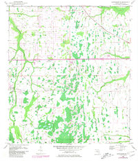
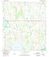
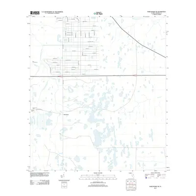
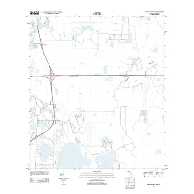
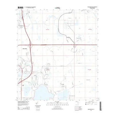
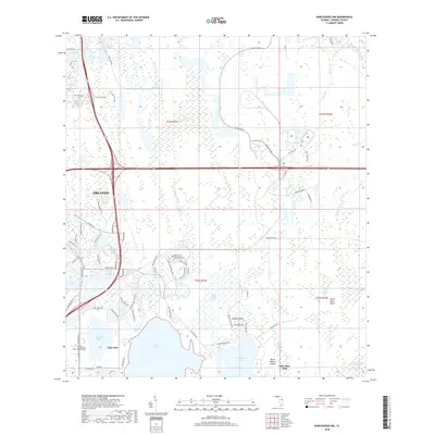
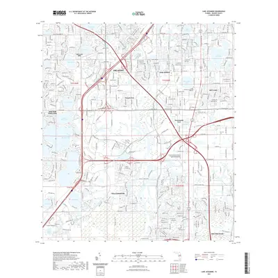
1953 Map of Narcoossee NE
USGS Topo · Published 1976About this map
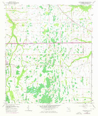
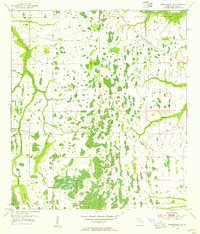
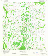
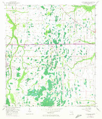
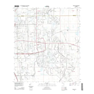
Econlockhatchee River and its intricate drainage network define this central Florida landscape as it appeared in the mid-20th century. The topography is dominated by wetlands and seasonal watercourses, including the Tootoosahatchee Creek and Little Econlockhatchee River. Human intervention in the hydrologic system is evident through the Disston Canal and associated Spoil Bank, reflecting early drainage efforts to manage the Econlockhatchee Swamp for land use.
Find a feature on this map
16 named features on this map. Tap any name to fly to it.
Don’t see what you’re looking for? This feature index may not catch every label — zoom into the map to look around manually.
Map Details
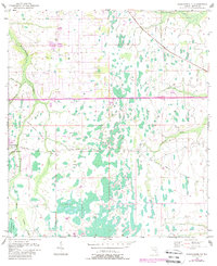
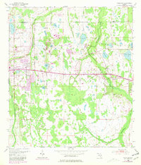
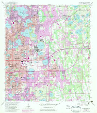
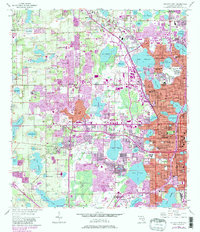
Editions of this 1953 Narcoossee NE Map
6 editions found
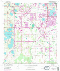
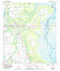
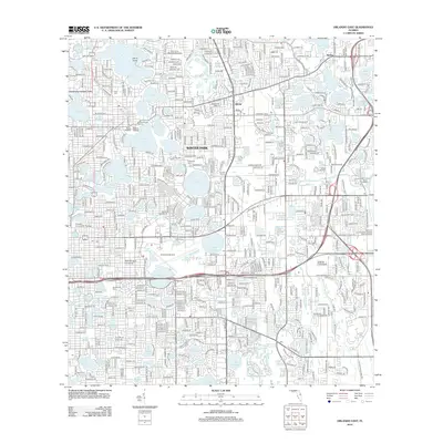
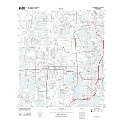
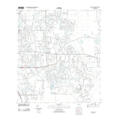
Historical Maps of Wedgefield Through Time
45 maps found
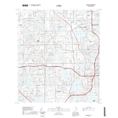
1953 Lake Jessamine
Orange County, FL
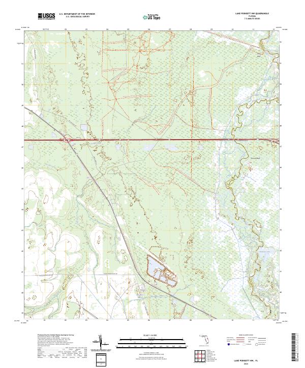
1953 Lake Poinsett NW
Orange County, FL
1953 Narcoossee NE
Orange County, FL
1953 Narcoossee NW
Orange County, FL
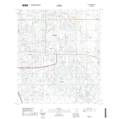
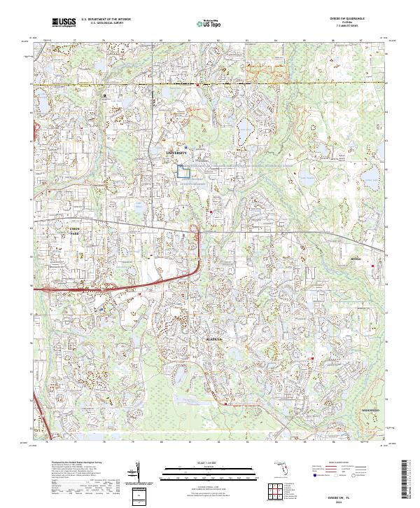
1953 Oviedo SW
Orange County, FL
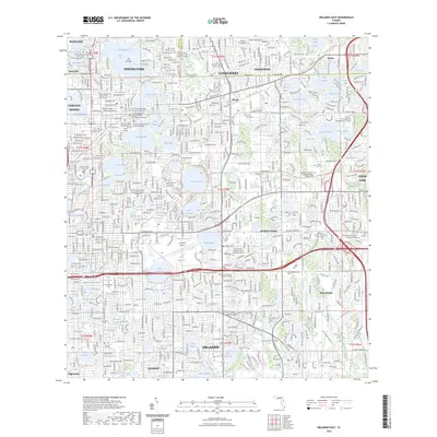
1956 Orlando East
Orange County, FL
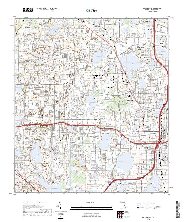
1956 Orlando West
Orange County, FL
1994 Orlando East
Orange County, FL
1995 Orlando West
Orange County, FL
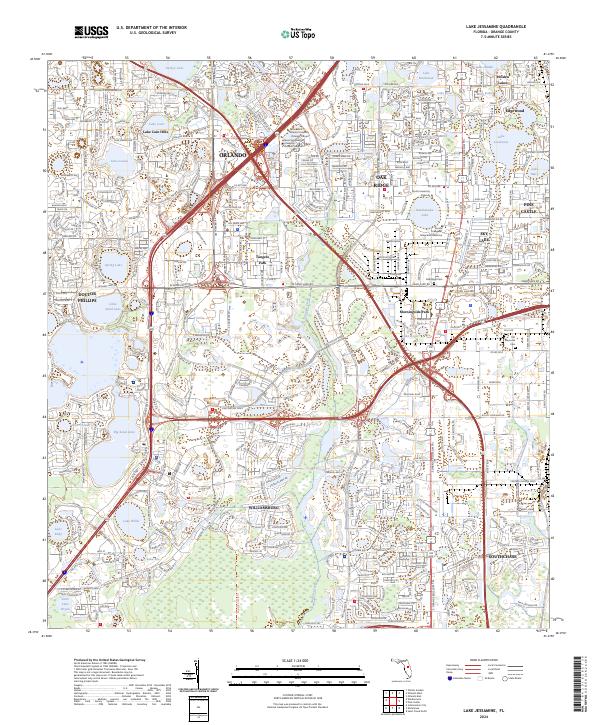
2012 Lake Jessamine
Orange County, FL

2012 Lake Poinsett NW
Orange County, FL
2012 Narcoossee NE
Orange County, FL
2012 Narcoossee NW
Orange County, FL
2012 Orlando East
Orange County, FL
2012 Orlando West
Orange County, FL
2012 Oviedo SW
Orange County, FL
2015 Lake Jessamine
Orange County, FL

2015 Lake Poinsett NW
Orange County, FL
2015 Narcoossee NE
Orange County, FL
2015 Narcoossee NW
Orange County, FL
2015 Orlando East
Orange County, FL
2015 Orlando West
Orange County, FL
2015 Oviedo SW
Orange County, FL
2018 Lake Jessamine
Orange County, FL

2018 Lake Poinsett NW
Orange County, FL
2018 Narcoossee NE
Orange County, FL
2018 Narcoossee NW
Orange County, FL
2018 Orlando East
Orange County, FL
2018 Orlando West
Orange County, FL
2018 Oviedo SW
Orange County, FL
2021 Lake Jessamine
Orange County, FL

2021 Lake Poinsett NW
Orange County, FL
2021 Narcoossee NE
Orange County, FL
2021 Narcoossee NW
Orange County, FL
2021 Orlando East
Orange County, FL
2021 Orlando West
Orange County, FL
2021 Oviedo SW
Orange County, FL
2023 Orlando East
Orange County, FL
2024 Lake Jessamine
Orange County, FL
2024 Lake Poinsett NW
Orange County, FL
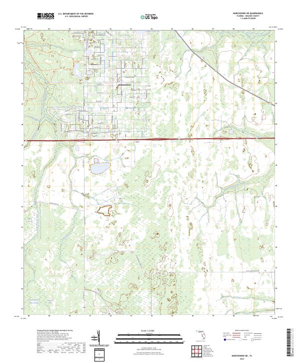
2024 Narcoossee NE
Orange County, FL
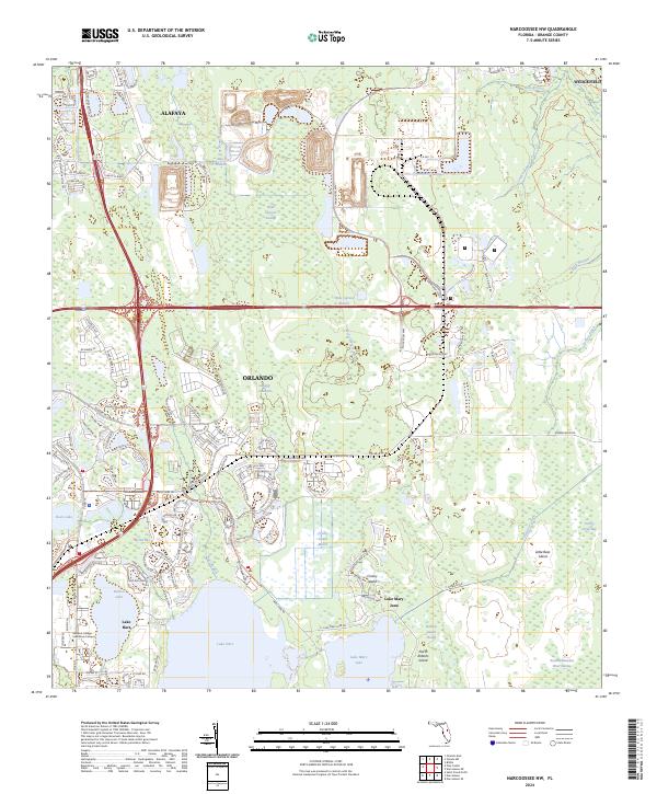
2024 Narcoossee NW
Orange County, FL
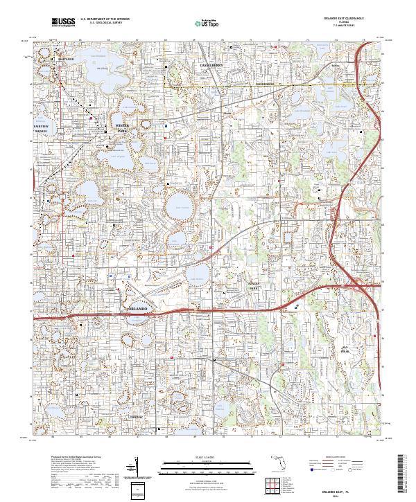
2024 Orlando East
Orange County, FL
2024 Orlando West
Orange County, FL
2024 Oviedo SW
Orange County, FL