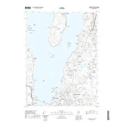
1892 Map of Narragansett Bay
USGS Topo · Published 1904About this map
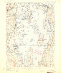
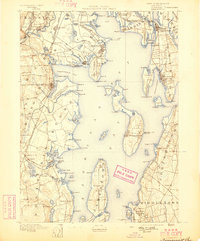
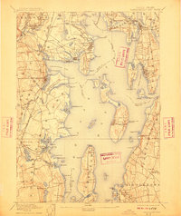
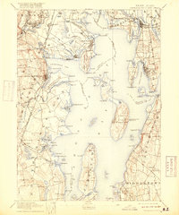
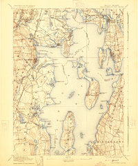
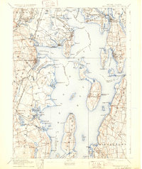
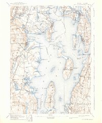
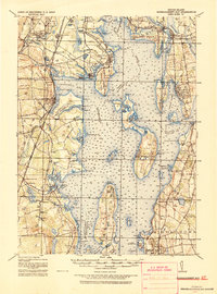
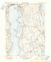
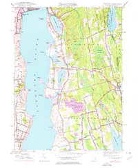
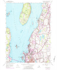
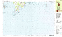
The State Prison and the nearby State Farm anchor the northwest corner of this late-nineteenth-century survey, illustrating the institutional landscape of Rhode Island before the turn of the century. As documented by the U.S. Coast and Geodetic Survey, the coastal geography of the bay is intricate, featuring the large landmass of Conanicut Island and the smaller Prudence Island centered among the tidal waters. The maritime economy is evident through several navigation markers, including the Warwick Light and Prudence I. Light.
Find a feature on this map
167 named features on this map. Tap any name to fly to it.
Don’t see what you’re looking for? This feature index may not catch every label — zoom into the map to look around manually.
Map Details
Editions of this 1892 Narragansett Bay Map
8 editions found

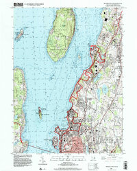
Historical Maps of Warwick Through Time
30 maps found

1885 Sakonnet
Newport County, RI

1888 Sakonnet
Newport County, RI

1890 Narragansett Bay
Newport County, RI
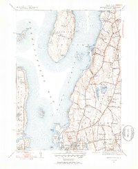
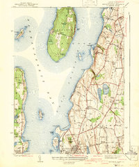
1892 Narragansett Bay
Newport County, RI
1893 Sakonnet
Newport County, RI
1919 Narragansett Bay
Newport County, RI
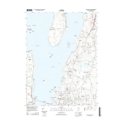
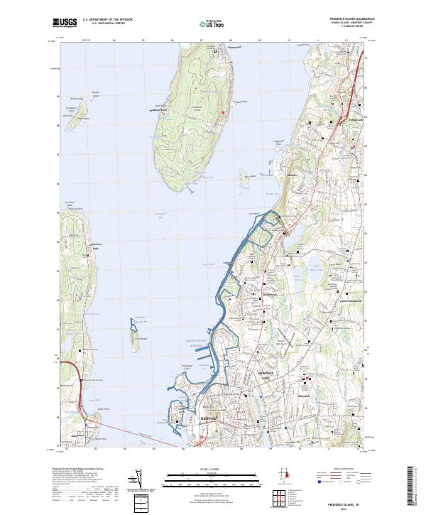
1939 Prudence Island
Newport County, RI
1942 Prudence Island
Newport County, RI
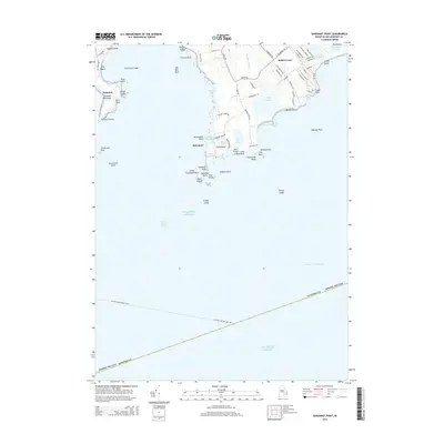
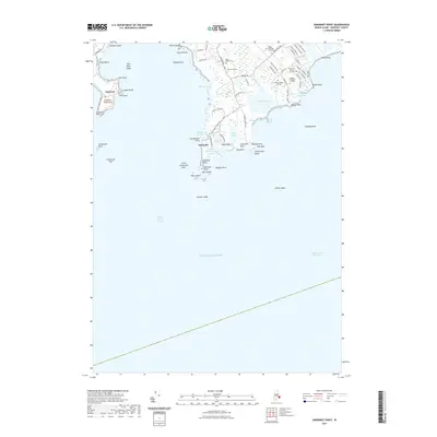
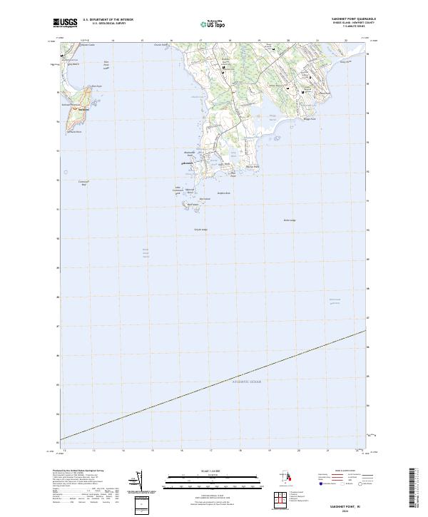
1942 Sakonnet Point
Newport County, RI
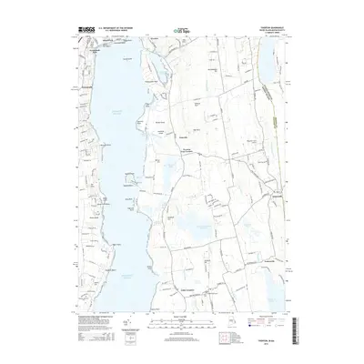
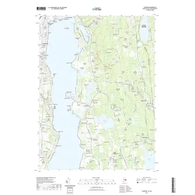
1942 Tiverton
Newport County, RI
1949 Tiverton
Newport County, RI
1955 Prudence Island
Newport County, RI
1955 Sakonnet Point
Newport County, RI
1984 Sakonnet Point
Newport County, RI
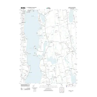
1996 Prudence Island
Newport County, RI
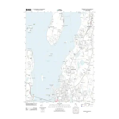
2012 Prudence Island
Newport County, RI
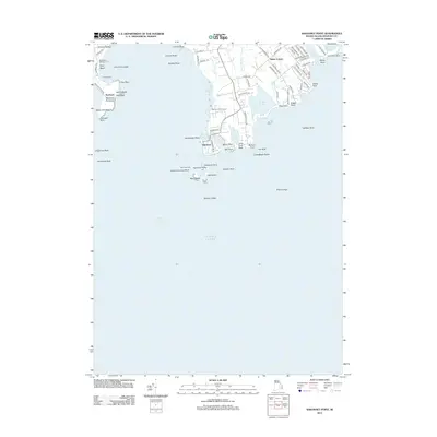
2012 Sakonnet Point
Newport County, RI
2012 Tiverton
Newport County, RI
2015 Prudence Island
Newport County, RI
2015 Sakonnet Point
Newport County, RI
2015 Tiverton
Newport County, RI
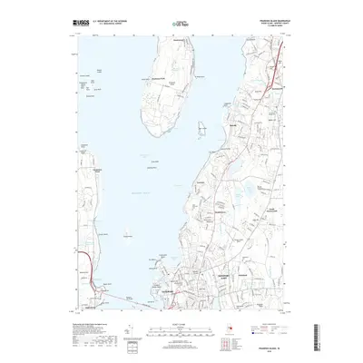
2018 Prudence Island
Newport County, RI
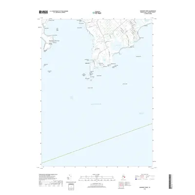
2018 Sakonnet Point
Newport County, RI
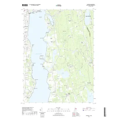
2018 Tiverton
Newport County, RI
2021 Prudence Island
Newport County, RI
2021 Sakonnet Point
Newport County, RI
2021 Tiverton
Newport County, RI
2024 Prudence Island
Newport County, RI
2024 Sakonnet Point
Newport County, RI
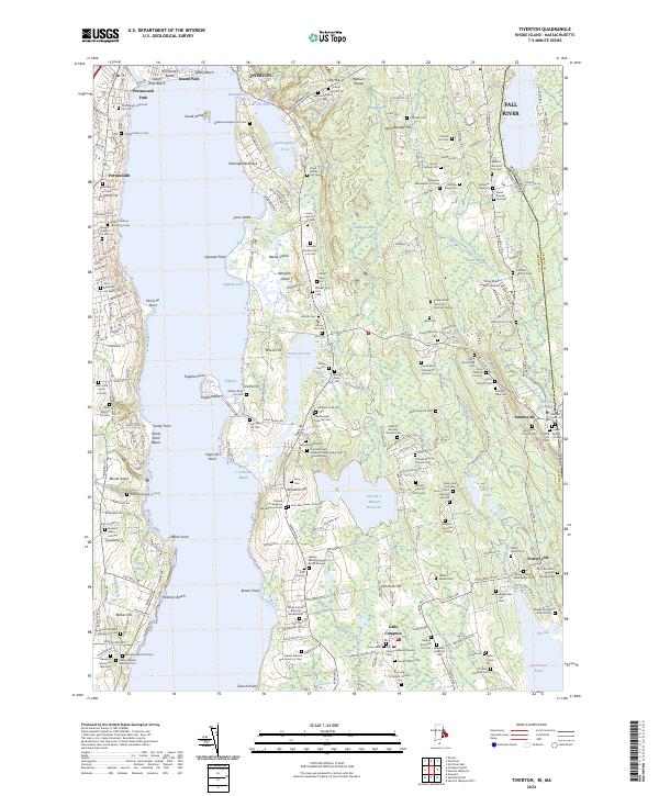
2024 Tiverton
Newport County, RI