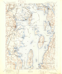
1892 Map of Narragansett Bay
USGS Topo · Published 1931About this map
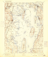
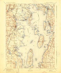
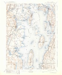
Narragansett Bay serves as the focal point of this late 19th-century coastal survey, illustrating the maritime and industrial connectivity of Rhode Island before the automobile era. The shoreline is dense with a network of specialized rail lines, including the New York Providence and Boston R.R. and the Warren and Bristol R.R., which linked coastal hubs to inland commerce. Coastal navigation is marked by several sentinels, such as Warwick Light and the Prudence I. Light, guiding traffic through the passages around Prudence Island and Conanicut Island.
Find a feature on this map
162 named features on this map. Tap any name to fly to it.
Don’t see what you’re looking for? This feature index may not catch every label — zoom into the map to look around manually.
Map Details
Editions of this 1892 Narragansett Bay Map
8 editions found

Other maps of this area

1885 · Sakonnet
USGS Topo · 1:62,500

1885 · Taunton
USGS Topo · 1:62,500

1887 · Providence
USGS Topo · 1:62,500

1888 · Fall River
USGS Topo · 1:62,500

1888 · Taunton
USGS Topo · 1:62,500

1888 · Sakonnet
USGS Topo · 1:62,500

1889 · Charlestown
USGS Topo · 1:62,500

1889 · Providence
USGS Topo · 1:62,500

1889 · Newport
USGS Topo · 1:62,500

1889 · Burrillville
USGS Topo · 1:62,500