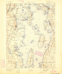
1892 Map of Narragansett Bay
USGS Topo · Published 1898About this map
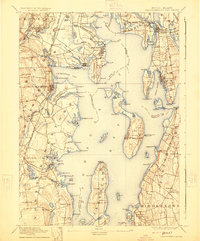
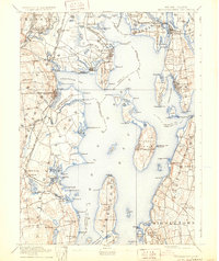
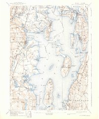
Narragansett Bay serves as the central focal point of this coastal Rhode Island landscape, recorded in the late nineteenth century. The map illustrates a complex maritime and rail-based economy, with numerous navigation aids such as Warwick Light and the Prudence I. Light guiding vessels through the deep waters and coves. Along the western shore, the New York Providence and Boston R.R. connects thriving coastal settlements like East Greenwich and Wickford. Inland, the presence of the State Prison near the Pawtuxet River provides a specific institutional landmark of the era. The detailed shoreline captures the geography before modern development, featuring prominent points like Quonset Pt. and the intricate necks of land like Potowomut Neck. Across the bay, the island of Prudence Island and the upper reaches of Bristol Harbor demonstrate the importance of ferry crossings and lighthouse stations to the region's connectivity.
Find a feature on this map
166 named features on this map. Tap any name to fly to it.
Don’t see what you’re looking for? This feature index may not catch every label — zoom into the map to look around manually.
Map Details
Editions of this 1892 Narragansett Bay Map
8 editions found

Other maps of this area

1885 · Sakonnet
USGS Topo · 1:62,500

1885 · Taunton
USGS Topo · 1:62,500

1887 · Providence
USGS Topo · 1:62,500

1888 · Fall River
USGS Topo · 1:62,500

1888 · Taunton
USGS Topo · 1:62,500

1888 · Sakonnet
USGS Topo · 1:62,500

1889 · Charlestown
USGS Topo · 1:62,500

1889 · Providence
USGS Topo · 1:62,500

1889 · Newport
USGS Topo · 1:62,500

1889 · Burrillville
USGS Topo · 1:62,500