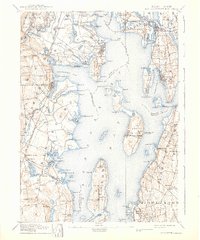
1892 Map of Narragansett Bay
USGS Topo · Published 1939About this map
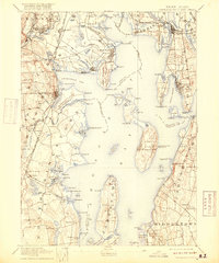
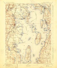
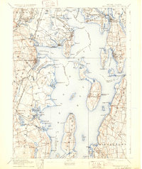
Prudence Island and Conanicut Island anchor the central expanse of the bay in this late nineteenth-century survey, a period when the Rhode Island coastline was defined by a complex maritime and rail-based economy. To the west, the New York Providence and Boston R.R. connects coastal hubs like Apponaug and Wickford Junction, while the eastern shores around Bristol and Warren are served by the Providence Warren and Fall River R.R. Notable institutional landmarks include the State Prison in the north and the State Farm nearby. The map documents a landscape of active navigation and early coastal recreation, from the lighthouse at Warwick Light to the popular destination at Rocky Point. Inland, the terrain is marked by numerous family-named heights such as Spencer Hill and Barber's Height, providing a detailed look at the rural character of the state before twentieth-century suburban expansion.
Find a feature on this map
160 named features on this map. Tap any name to fly to it.
Don’t see what you’re looking for? This feature index may not catch every label — zoom into the map to look around manually.
Map Details
Editions of this 1892 Narragansett Bay Map
8 editions found

Other maps of this area

1885 · Sakonnet
USGS Topo · 1:62,500

1885 · Taunton
USGS Topo · 1:62,500

1887 · Providence
USGS Topo · 1:62,500

1888 · Fall River
USGS Topo · 1:62,500

1888 · Taunton
USGS Topo · 1:62,500

1888 · Sakonnet
USGS Topo · 1:62,500

1889 · Charlestown
USGS Topo · 1:62,500

1889 · Providence
USGS Topo · 1:62,500

1889 · Newport
USGS Topo · 1:62,500

1889 · Burrillville
USGS Topo · 1:62,500