
1903 Map of Nashville
USGS Topo · Published 1903About this map
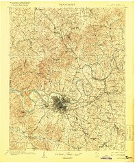
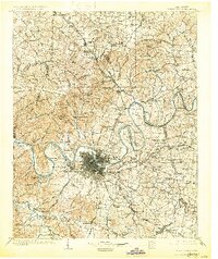
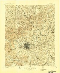
Nashville is the central hub of a landscape defined by the winding Cumberland River and a radial network of toll pikes at the turn of the century. The map reveals the intricate river bends including Bells Bend and Neely Bend, while early infrastructure like Lock No. 1 and Lock No. 2 show the management of this waterway. Beyond the urban core, the region is dotted with mineral springs and historical estates, most notably The Hermitage and Old Hickory to the east. Several major railroads, including the Louisville and Nashville RR and the Tennessee Central RR, converge here, illustrating the city's role as a primary Southern transportation terminal. Surrounding rural areas like Greenbrier, Cottontown, and Joelton are connected by namesake thoroughfares such as Gallatin Pike and Murfreesboro Pike, reflecting a transition from plantation-style agriculture to early 20th-century suburbanization.
Find a feature on this map
164 named features on this map. Tap any name to fly to it.
Don’t see what you’re looking for? This feature index may not catch every label — zoom into the map to look around manually.
Map Details
Editions of this 1903 Nashville Map
4 editions found
Other maps of this area

1901 · Colombia
USGS Topo · 1:125,000

1909 · Franklin
USGS Topo · 1:62,500

1916 · Murfreesboro
USGS Topo · 1:62,500

1930 · White Bluff
USGS Topo · 1:62,500

1931 · Adolphus
USGS Topo · 1:62,500

1931 · Ridgetop
USGS Topo · 1:62,500

1932 · Hermitage
USGS Topo · 1:62,500

1932 · Nashville
USGS Topo · 1:62,500

1933 · White Bluff
USGS Topo · 1:62,500

1935 · Ridgetop
USGS Topo · 1:62,500