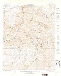
1902 Map of Needle Mountains
USGS Topo · Published 1905About this map
The Denver and Rio Grande Railroad snakes through the deep canyon of the Animas River in this 1902 survey of the high San Juan country. This topographic record documents a landscape shaped by extreme elevation and late-Victorian mining activity, centering on the Needle Mountains and the sharp peaks of the Grenadier Range. While most of the terrain is dominated by high-altitude features like Mt. Eolus and the Continental Divide, the presence of Beartown, Needleton, and Logtown illustrates the brief, intense human footprint of the era. The mapping of the Quartz Mill near the Florida River and various basins like Chicago Basin and New York Basin reveals the specific alpine locations where prospectors sought fortune before the turn of the century. High alpine lakes, including Molas Lake and Emerald Lake, dot the granite landscape between the West Needle Mountains and the massive drainage of Vallecito Creek.
Find a feature on this map
96 named features on this map. Tap any name to fly to it.
Don’t see what you’re looking for? This feature index may not catch every label — zoom into the map to look around manually.
Map Details
Editions of this 1902 Needle Mountains Map
4 editions found
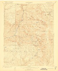
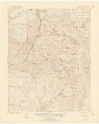
Other maps of this area

1897 · Telluride
USGS Topo · 1:62,500

1897 · Silverton
USGS Topo · 1:62,500

1898 · Durango
USGS Topo · 1:62,500

1898 · Engineer Mountain
USGS Topo · 1:62,500

1900 · Engineer Mountain
USGS Topo · 1:62,500

1900 · Needle Mountains
USGS Topo · 1:62,500

1901 · Silverton
USGS Topo · 1:62,500

1902 · Needle Mountains
USGS Topo · 1:62,500

1902 · Silverton
USGS Topo · 1:62,500

1904 · Telluride
USGS Topo · 1:62,500