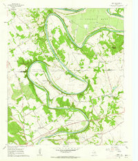
1961 Map of Nemo
USGS Topo · Published 1963About this map
The Brazos River carves a dramatic series of horseshoe loops across the Hood and Somervell County line, defining the cultural and physical geography of this Central Texas landscape. These river bends, including De Cordova Bend, Abby Bend, Cox Bend, Mitchell Bend, and Turner Bend, dictate the placement of early settlements and family landmarks. This 1961 field-checked survey reveals a quiet agricultural region anchored by the community of Nemo and the small town of Rainbow.
Find a feature on this map
31 named features on this map. Tap any name to fly to it.
Don’t see what you’re looking for? This feature index may not catch every label — zoom into the map to look around manually.
Map Details
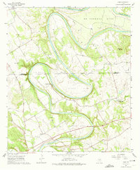
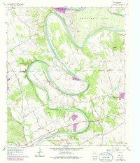
Editions of this 1961 Nemo Map
3 editions found
Other maps of this area

1889 · Granbury
USGS Topo · 1:125,000
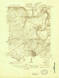
1923 · Granbury 2-a
USGS Topo · 1:48,000
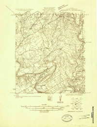
1923 · Granbury 1-b
USGS Topo · 1:48,000
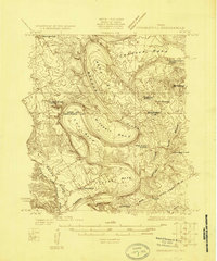
1924 · Granbury 1-c
USGS Topo · 1:48,000
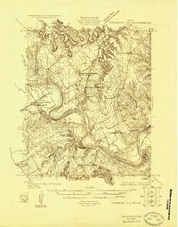
1924 · Granbury 4-a
USGS Topo · 1:48,000
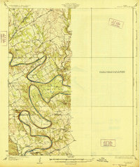
1928 · Godley
USGS Topo · 1:62,500
1931 · Morgan
USGS Topo · 1:62,500
1931 · Tolar
USGS Topo · 1:62,500

1954 · Dallas
USGS Topo · 1:250,000

1958 · Dallas
USGS Topo · 1:250,000