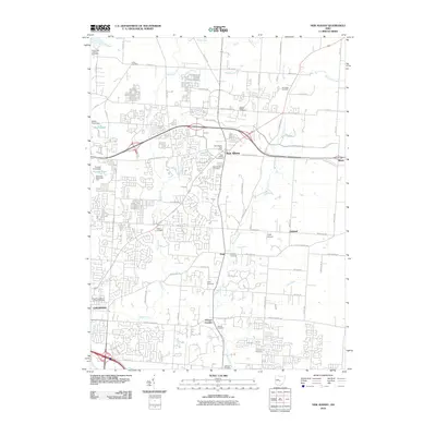
2010 Map of New Albany
USGS Topo · Published 2010About this map
New Albany serves as the focal point of this 2010 survey, showcasing the rapid suburban evolution northeast of Columbus. The landscape is defined by the headwaters of Rocky Fork and Blacklick Creek, which dictate the drainage through several agricultural and residential tracts. The map reveals a high density of small family and community burial grounds, including Union Cemetery, Burnside Cemetery, and Headley Cemetery, providing critical landmarks for local genealogists tracing early settlement patterns.
Find a feature on this map
73 named features on this map. Tap any name to fly to it.
Don’t see what you’re looking for? This feature index may not catch every label — zoom into the map to look around manually.
Map Details
Editions of this 2010 New Albany Map
This is the sole edition of this map. No revisions or reprints were ever made.
Other maps of this area

1902 · Westerville
USGS Topo · 1:62,500

1904 · Westerville
USGS Topo · 1:62,500

1907 · Thurston
USGS Topo · 1:62,500

1908 · Granville
USGS Topo · 1:62,500

1909 · Thurston
USGS Topo · 1:62,500

1910 · Granville
USGS Topo · 1:62,500

1925 · East Columbus
USGS Topo · 1:62,500

1943 · East Columbus
USGS Topo · 1:62,500

1947 · Columbus
USGS Topo · 1:250,000

1950 · Marion
USGS Topo · 1:250,000