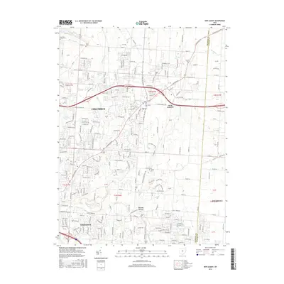
2016 Map of New Albany
USGS Topo · Published 2016About this map
New Albany sits at the center of this 2016 survey, showcasing a landscape defined by modern suburban expansion and preserved local history. The map detail highlights the development patterns of northeastern Franklin Co and northwestern Licking Co, where subdivisions and complex road networks such as Walton Pkwy meet older rural landmarks. For genealogists and local historians, the sheet is particularly valuable for its documentation of numerous burial sites, including the New Albany Cem, Maplewood Cem, and the more remote Burnside Cem. Natural features like Blacklick Cr and Rocky Fork Cr weave through the terrain, while the community of Havens Corners and the outskirts of Gahanna mark the southern portions of the quadrangle. This record captures the area just as it became a major hub for the greater Columbus region.
Find a feature on this map
234 named features on this map. Tap any name to fly to it.
Don’t see what you’re looking for? This feature index may not catch every label — zoom into the map to look around manually.
Map Details
Editions of this 2016 New Albany Map
This is the sole edition of this map. No revisions or reprints were ever made.
Other maps of this area

1902 · Westerville
USGS Topo · 1:62,500

1904 · Westerville
USGS Topo · 1:62,500

1907 · Thurston
USGS Topo · 1:62,500

1908 · Granville
USGS Topo · 1:62,500

1909 · Thurston
USGS Topo · 1:62,500

1910 · Granville
USGS Topo · 1:62,500

1925 · East Columbus
USGS Topo · 1:62,500

1943 · East Columbus
USGS Topo · 1:62,500

1947 · Columbus
USGS Topo · 1:250,000

1950 · Marion
USGS Topo · 1:250,000