2023 Map of New Bloomington
USGS Topo · Published 2023About this map
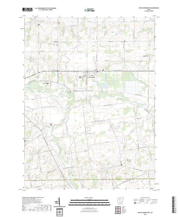
New Bloomington serves as a central point in this Ohio landscape where the Scioto River meanders across the territory. The geography is defined by a dense concentration of family and community burial grounds, including the German Reform Cem, Agosta Cem, and Hoover Crossing Cem, which provide significant anchor points for local genealogical research. North of the river, small settlements like DeCliff and Espyville are linked by a network of historic transit routes such as Wildcat Pike and Co Hwy 34. The land south of the river is marked by an extensive drainage system consisting of Irey Ditch, Zieg Ditch, and the Willow Swamp, illustrating the long-term engineering required to manage the hydrologic profile of this region for agricultural use. Additional landmarks like the Cooper Vestal Cem and Ebenezer Cem further delineate the historic boundaries of these rural communities.
Find a feature on this map
79 named features on this map. Tap any name to fly to it.
Don’t see what you’re looking for? This feature index may not catch every label — zoom into the map to look around manually.
Map Details
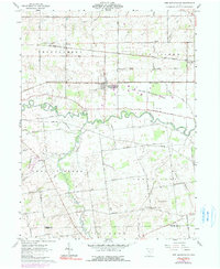
Editions of this 2023 New Bloomington Map
This is the sole edition of this map. No revisions or reprints were ever made.
Historical Maps of Espyville Through Time
Featured Locations
- Big Island Township, OH
- Bowling Green Township, OH
- Green Camp Township, OH
- Montgomery Township, OH
- New Bloomington, Montgomery Township