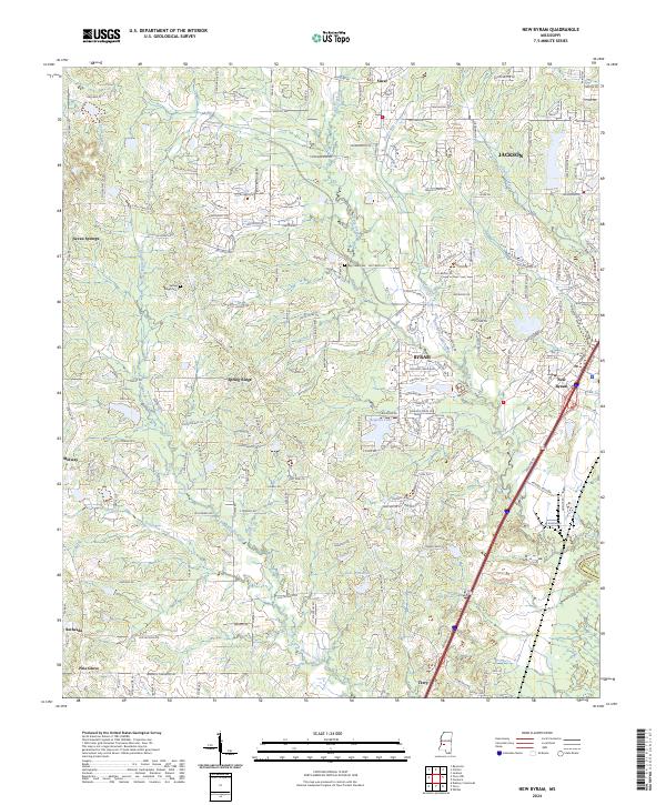
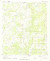
2024 Map of New Byram
USGS Topo · Published 2024About this map
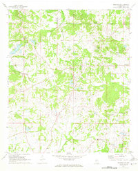
Byram and its newer developments south of Jackson characterize this modern landscape along the Pearl River. This survey captures the suburban density spreading from New Byram toward the traditional crossroads of Siwel and Spring Ridge. Despite the encroaching residential street networks of neighborhoods like Seven Springs, the map preserves many older rural anchors, including the Spring Ridge Cem and Big Creek Cem.
Find a feature on this map
113 named features on this map. Tap any name to fly to it.
Don’t see what you’re looking for? This feature index may not catch every label — zoom into the map to look around manually.
Map Details
Editions of this 2024 New Byram Map
This is the sole edition of this map. No revisions or reprints were ever made.
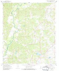
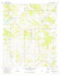
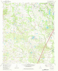
Historical Maps of Spring Ridge Through Time
22 maps found
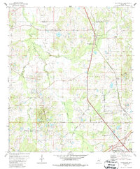
1962 Utica West
Hinds County, MS
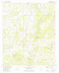
1963 Cayuga
Hinds County, MS
1963 Utica East
Hinds County, MS
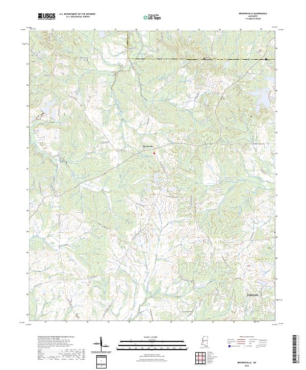
1971 Brownsville
Hinds County, MS
1971 Dabney Crossroads
Hinds County, MS
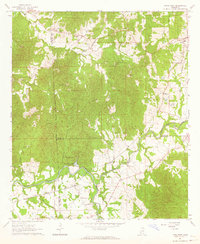
1971 New Byram
Hinds County, MS
1971 Pocahontas
Hinds County, MS
1971 Terry NW
Hinds County, MS
1972 Queens Hill Lake
Hinds County, MS
1980 Brownsville
Hinds County, MS
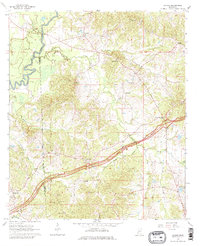
1980 New Byram
Hinds County, MS
1980 Pocahontas
Hinds County, MS
1980 Terry NW
Hinds County, MS
2024 Brownsville
Hinds County, MS
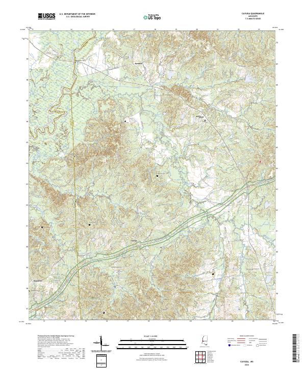
2024 Cayuga
Hinds County, MS
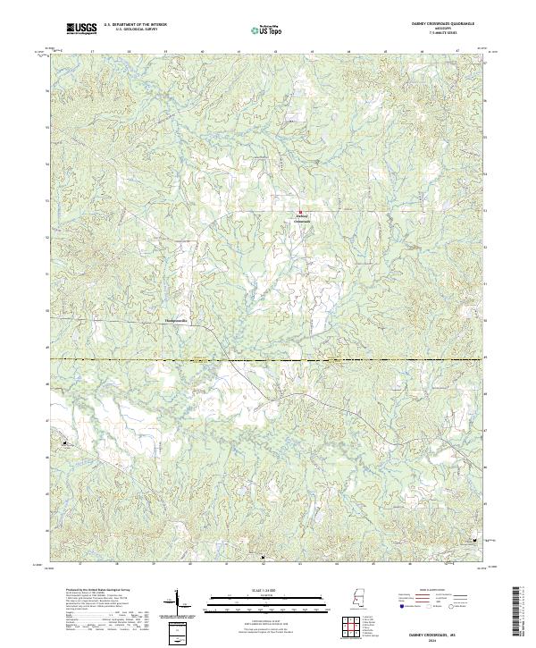
2024 Dabney Crossroads
Hinds County, MS
2024 New Byram
Hinds County, MS
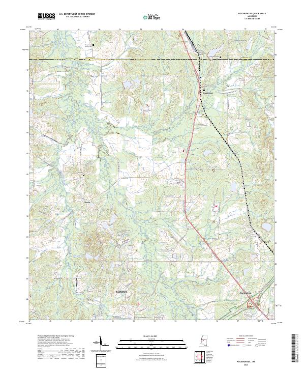
2024 Pocahontas
Hinds County, MS
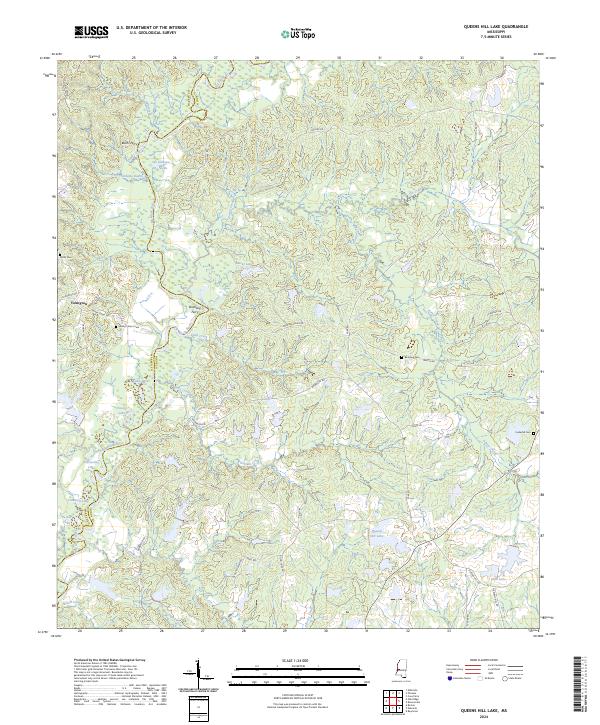
2024 Queens Hill Lake
Hinds County, MS
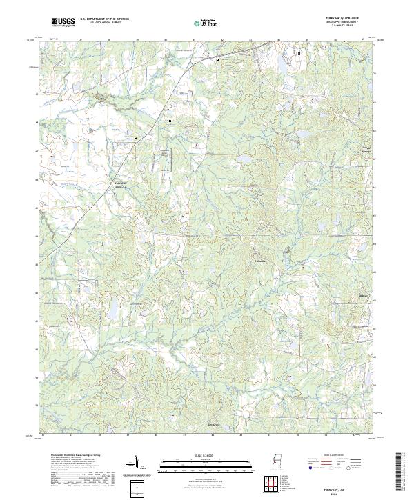
2024 Terry NW
Hinds County, MS
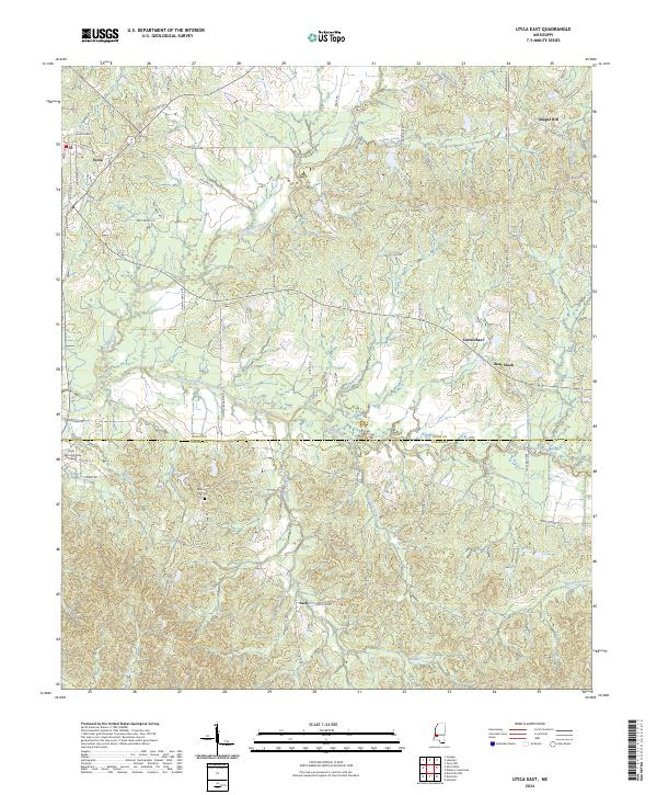
2024 Utica East
Hinds County, MS
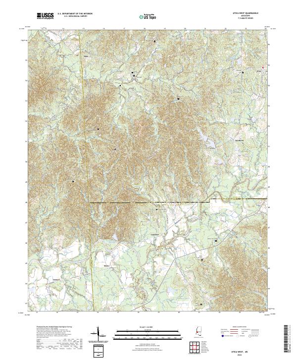
2024 Utica West
Hinds County, MS