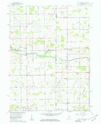
1960 Map of New Corydon
USGS Topo · Published 1962About this map
The Wabash River meanders across the state line between Indiana and Ohio, anchoring a landscape defined by small crossroads settlements and family-named landmarks. The village of New Corydon and neighboring Jay City sit just west of the border, where the river's path is monitored by a Gaging Station. Further south, the terrain includes the notable Limberlost area, characterized by its network of small tributaries like Bull Creek and Wilson Creek.
Find a feature on this map
53 named features on this map. Tap any name to fly to it.
Don’t see what you’re looking for? This feature index may not catch every label — zoom into the map to look around manually.
Map Details
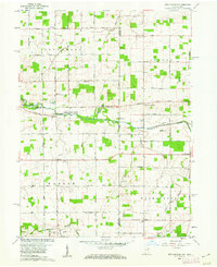
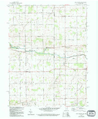
Editions of this 1960 New Corydon Map
Other maps of this area

1908 · St. Henry
USGS Topo · 1:62,500

1911 · Berne
USGS Topo · 1:48,000

1914 · Celina
USGS Topo · 1:62,500

1915 · Fort Recovery
USGS Topo · 1:48,000

1918 · Fort Recovery
USGS Topo · 1:62,500

1944 · Celina
USGS Topo · 1:62,500

1953 · Muncie
USGS Topo · 1:250,000

1956 · Muncie
USGS Topo · 1:250,000

1960 · Fort Recovery
USGS Topo · 1:24,000
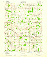
1960 · Erastus
USGS Topo · 1:24,000